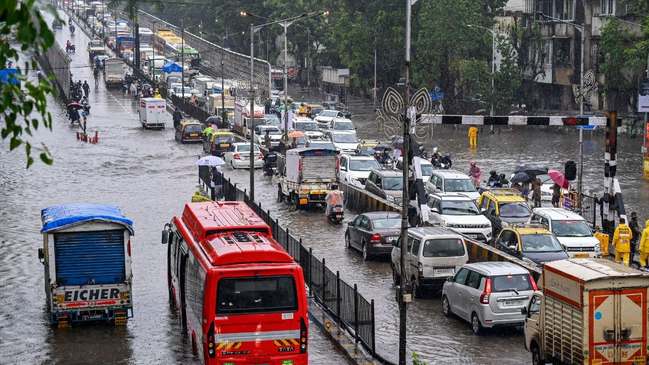
Monsoon Surge: Widespread Rainfall Alerts Issued for Multiple Indian States
The India Meteorological Department (IMD) has issued a comprehensive weather advisory for July 28, warning of an intensified monsoon spell across large swathes of the Indian subcontinent. Driven by a deep depression and a confluence of favorable atmospheric systems, the meteorological outlook suggests a significant increase in precipitation levels. Farmers and regional administrations across Maharashtra, Gujarat, Uttar Pradesh, Jammu & Kashmir, Karnataka, Odisha, and West Bengal are being urged to prepare for active monsoon conditions that are expected to persist throughout the coming days.
The current weather pattern is characterized by high moisture ingress from both the Arabian Sea and the Bay of Bengal, which is fueling the development of cloud clusters. The IMD’s latest bulletins indicate that the rainfall will not be uniform; rather, it will be punctuated by localized heavy to very heavy downpours. These intense bursts are likely to be accompanied by thunderstorms, frequent lightning strikes, and gusty wind conditions, posing a multifaceted challenge for agricultural operations and regional infrastructure.
Regional Breakdown: Assessing the Meteorological Impact
The geographical reach of this weather system is extensive, affecting both the primary crop belts and the sensitive hilly regions of the north. In Maharashtra and Gujarat, the moisture-laden winds are expected to sustain the ongoing monsoon momentum, which is vital for the Kharif sowing season. However, the IMD has flagged specific districts within these states for potential waterlogging, particularly in low-lying areas where drainage capacity may be tested by sustained, high-intensity rainfall.
In the northern and eastern corridors, including Uttar Pradesh, Odisha, and West Bengal, the weather systems are expected to bring a refreshing, albeit potentially disruptive, spell of rain. For the agricultural heartlands of Uttar Pradesh, this moisture is essential for the paddy crop, provided it does not lead to localized inundation. Meanwhile, in the hilly terrains of Jammu & Kashmir, the forecast for heavy rain brings the associated risks of flash floods and landslides, necessitating caution for farmers operating in mountainous valleys and those involved in horticulture.
The southern peninsula, specifically Karnataka, is also set to see an increase in activity. The coastal and interior regions of the state are likely to experience consistent rainfall, which will bolster reservoir levels but requires careful management of standing crops, particularly in areas prone to soil saturation.
Agricultural Preparedness and Risk Mitigation
The combination of heavy rainfall and high-velocity winds presents a significant risk to standing crops at various growth stages. The IMD’s forecast serves as a critical early warning for the agricultural community to transition from routine field management to active disaster mitigation. Agronomists emphasize that the primary concern during such intense weather events is the prevention of mechanical damage to crops and the management of water runoff to prevent nutrient leaching.
Beyond the immediate physical impact on fields, the humidity levels associated with this weather system increase the risk of fungal infections and pest outbreaks. The shift from dry spells to heavy rain creates a microclimate in the crop canopy that is highly conducive to the rapid spread of blight and other moisture-borne diseases. Farmers are advised to maintain close monitoring of their fields and ensure that field drainage channels are cleared to prevent the accumulation of stagnant water around the root zones of sensitive crops.
What This Means for Farmers
The IMD’s forecast for July 28 carries significant economic and operational implications for the farming community. To navigate this period of intensified monsoon activity, farmers should prioritize the following actions:
- Ensure Field Drainage: Prioritize the clearance of water channels to prevent waterlogging. Excessive moisture around the root zone for extended periods can lead to root rot and significant yield losses, particularly for crops like pulses and cotton.
- Monitor for Pests and Disease: The sudden influx of moisture and high humidity provides an ideal environment for pathogenic fungi and insects. Be prepared to implement integrated pest management (IPM) strategies and consult with local agricultural extension offices regarding the application of prophylactic treatments if necessary.
- Postpone Fertilizer Application: Avoid the application of nitrogenous fertilizers or pesticides immediately before heavy rainfall events. Precipitation can wash away expensive inputs, leading to both economic waste and environmental runoff, which reduces the overall efficiency of the nutrient management program.
- Secure Infrastructure: Ensure that temporary structures, livestock shelters, and stored fodder are reinforced against gusty winds. Lightning safety protocols should be strictly observed, and personnel should be cautioned against working in open fields during active thunderstorm activity.
- Stay Informed: Continue to monitor district-level bulletins issued by the IMD and state agricultural universities. Localized forecasts are often more precise than national summaries and can provide the specific timing of the weather shifts needed to plan daily field activities effectively.