
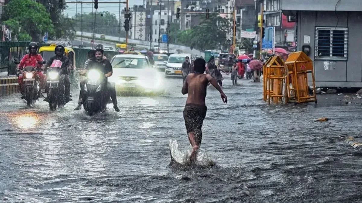
Gujarat Braces for Variable Rainfall as IMD Forecasts Intensified Monsoon Activity
The India Meteorological Department (IMD) has released an updated weather outlook for Gujarat, indicating a period of fluctuating precipitation across the state. As the monsoon season progresses into mid-August, meteorological models suggest a transition from localized, light showers to more widespread and intense rainfall events. Residents and agricultural stakeholders in major urban centers, including Ahmedabad, Surat, Rajkot, and Vadodara, are preparing for moderate rainfall throughout the immediate term, with a significant shift in weather patterns expected as the Independence Day holiday approaches.
According to current satellite imagery and synoptic charts, the state is currently under the influence of moisture-laden winds originating from the Arabian Sea. While the rainfall observed over the last 24 hours has remained largely manageable, meteorologists are closely monitoring a developing low-pressure system. This system is projected to gain strength, potentially leading to a more robust moisture influx that will dictate the state's weather trajectory through August 15.
Shifting Precipitation Patterns: From Light Showers to Widespread Activity
For the immediate period leading up to August 11, the IMD has characterized the rainfall as light to moderate. Urban hubs such as Ahmedabad and Surat are experiencing intermittent cloud cover and intermittent spells of precipitation, which are providing temporary relief from high humidity levels. These conditions are consistent with typical monsoon behavior for this time of year, where scattered convection leads to localized rainfall rather than sustained, state-wide deluges.
However, the forecast indicates a distinct change in the meteorological landscape starting August 12. The IMD has signaled an increase in rainfall intensity, with several districts across the Saurashtra and South Gujarat regions likely to experience heavy to very heavy rainfall. This intensification is attributed to the strengthening of offshore troughs and the potential formation of a cyclonic circulation. As the moisture convergence increases, the coverage of rainfall is expected to expand, moving from isolated pockets to widespread precipitation that will affect both coastal and inland agricultural belts through August 15.
Infrastructure and Agricultural Preparedness
The expected increase in rainfall intensity brings both benefits and logistical challenges. For urban areas, the primary concern remains the management of drainage systems and the prevention of waterlogging in low-lying sectors. Municipal corporations in major cities have been alerted to the possibility of sudden cloudbursts or sustained heavy rain, which historically impacts traffic flow and public infrastructure.
From an agronomic perspective, the upcoming weather phase is critical. While moderate rainfall is essential for groundwater recharge and the sustenance of standing kharif crops, the transition to heavy precipitation requires vigilance. Excess moisture at this stage of the crop cycle can lead to challenges related to pest management and soil saturation, particularly in regions with heavy clay content. Farmers are encouraged to monitor field conditions closely as the forecast evolves over the next several days.
What This Means for Farmers
The updated IMD forecast serves as a vital signal for the agricultural community to adjust their management practices ahead of the expected intensification. The following points outline the immediate priorities for farmers across the state:
- Field Drainage Management: Ensure that drainage channels in fields are clear of debris. Effective water management is essential to prevent waterlogging, which can lead to root rot and nutrient leaching in standing crops.
- Pest and Disease Monitoring: High humidity and increased rainfall create ideal environments for fungal pathogens and certain insect populations. Farmers should conduct routine scouting of their fields and be prepared to implement protective measures if pest thresholds are exceeded.
- Fertilizer Application Scheduling: Given the prospect of heavy rain between August 12 and 15, it is advisable to postpone the application of nitrogenous fertilizers. Heavy rainfall shortly after application can lead to significant nutrient runoff, resulting in economic losses and reduced fertilizer efficiency.
- Harvesting and Storage: For farmers in areas where early crops may be nearing maturity, it is critical to prioritize harvesting before the heavy rain window opens. Ensure that harvested produce is stored in elevated, moisture-proof facilities to prevent post-harvest spoilage.
- Livestock Safety: Ensure that livestock shelters are reinforced and well-drained. High-intensity rainfall can lead to muddy conditions that increase the risk of hoof-related issues and respiratory stress in animals.
As the weather situation remains dynamic, farmers are urged to stay updated through regional IMD bulletins and local agricultural extension services to make informed decisions regarding their crop cycles and field operations.


