IMD Issues Wide-Scale Rainfall Alert: Heavy Deluge Forecast Across Key Agricultural Belts
The India Meteorological Department (IMD) has issued a comprehensive weather warning for July 25, signaling a period of intense atmospheric instability across a significant portion of the country. With a series of low-pressure systems and active monsoon troughs converging, meteorologists are tracking severe weather patterns expected to impact regions ranging from the northern plains to the western coastal belts and the northeastern states. The forecast warns of persistent heavy rainfall, accompanied by thunderstorms and high-velocity gusty winds, likely to disrupt daily life and agricultural operations over the next 48 to 72 hours.
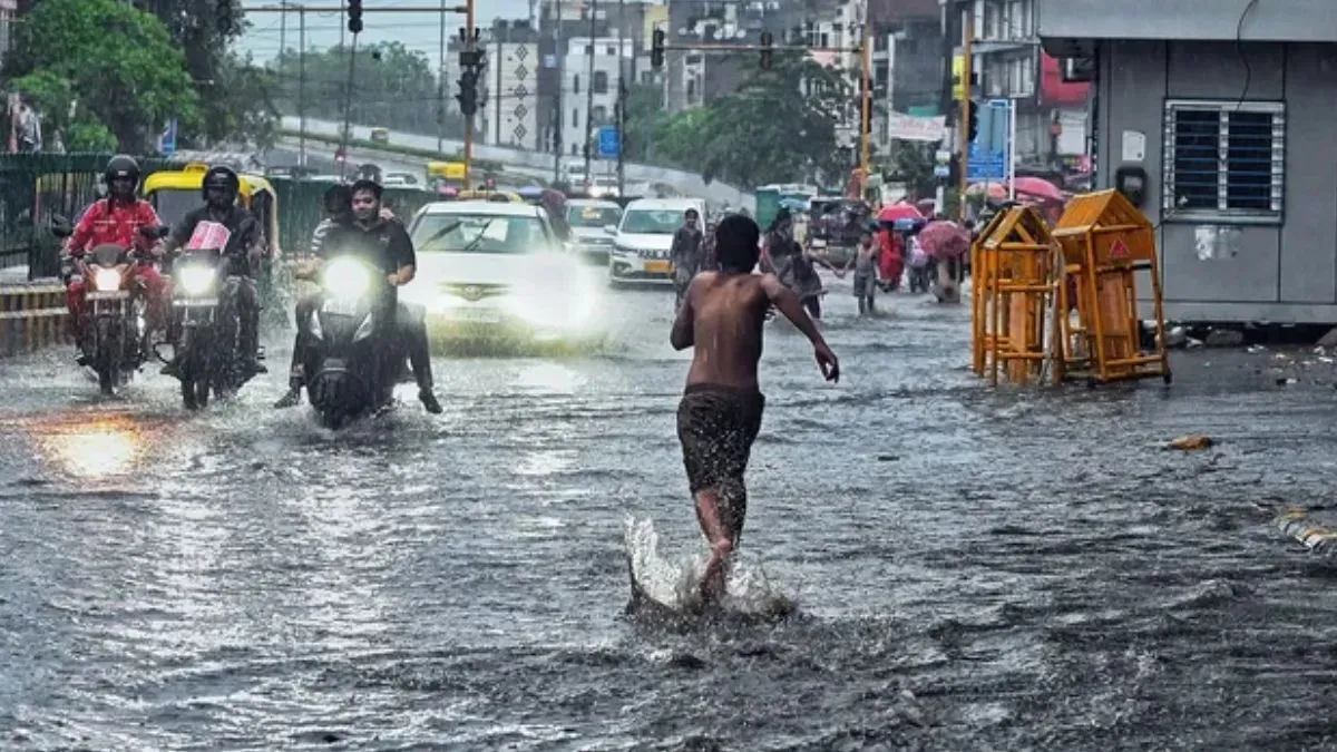
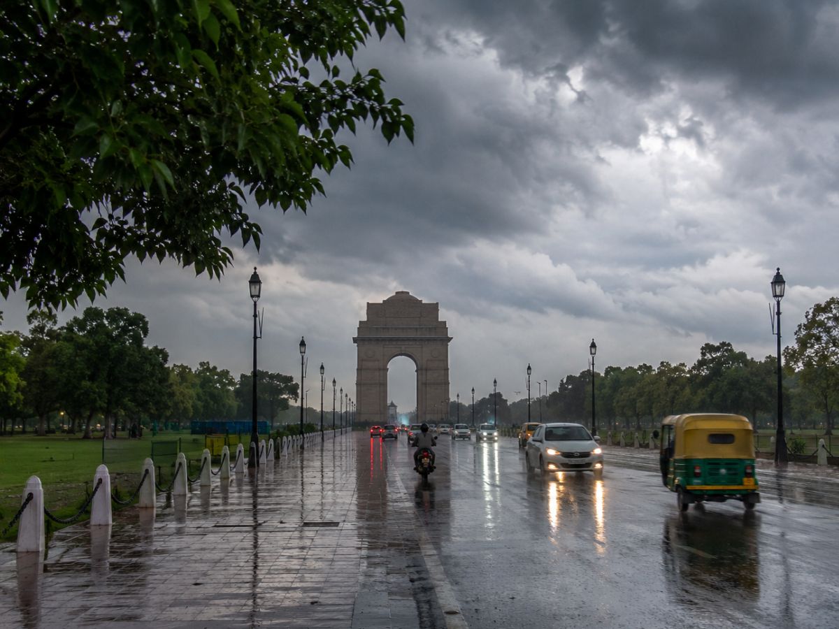
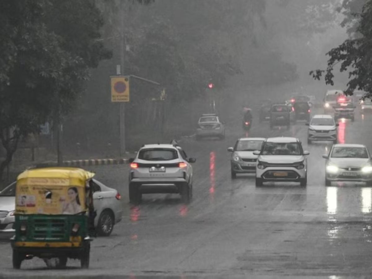
Among the states under the most significant scrutiny is Gujarat, where the IMD has issued alerts for exceptionally heavy precipitation. Simultaneously, urban centers including Delhi-NCR and Mumbai are bracing for heavy downpours that could lead to localized waterlogging and traffic disruptions. The weather system is also expected to significantly impact Rajasthan, Maharashtra, Himachal Pradesh, Uttarakhand, Punjab, Madhya Pradesh, Odisha, and the northeastern states, marking a period of heightened meteorological vigilance across the nation.
Meteorological Drivers and Regional Outlook
The current weather volatility is attributed to a combination of factors, including the strengthening of the monsoon winds over the Arabian Sea and the movement of a cyclonic circulation across the central regions. In western India, particularly Gujarat, the convergence of these moisture-laden winds is expected to trigger widespread, intense rainfall. This is a critical development, as Gujarat serves as a major hub for cotton, groundnut, and oilseed cultivation, where soil moisture levels are currently at a pivotal stage for crop development.
In the northern regions, including Himachal Pradesh, Uttarakhand, and Punjab, the combination of monsoon moisture and mountainous topography increases the risk of flash flooding and landslides. These states are currently in the midst of the kharif planting season, and while the rain is essential for water reservoirs, the intensity of the projected thunderstorms poses a risk of soil erosion and mechanical damage to young seedlings. Meanwhile, in the central belt of Madhya Pradesh and the eastern state of Odisha, the rainfall is expected to provide much-needed replenishment to irrigation tanks and groundwater tables, provided the intensity remains within manageable bounds.
Infrastructure and Urban Preparedness
The IMD’s forecast for Delhi-NCR and Mumbai highlights the vulnerability of highly urbanized areas to sudden, heavy precipitation. For these regions, the primary concern remains the capacity of drainage systems to handle high-intensity rainfall within a short duration. The expected gusty winds accompanying these thunderstorms also pose a risk to overhead power lines and temporary structures. Authorities in these regions have been advised to remain on high alert, with emergency response teams positioned to address potential waterlogging and infrastructure bottlenecks that could impact logistics and supply chains.
Beyond the urban centers, the meteorological department has emphasized that the thunderstorms are likely to be accompanied by lightning strikes. This poses a significant safety risk in rural areas, where field workers and livestock are frequently exposed to open environments. Local administrations in the affected states have been urged to disseminate warnings through village-level networks to ensure that both human and animal populations are moved to safer locations during the peak of the storm cycles.
What This Means for Farmers
For the agricultural community, this period of heavy rainfall presents a complex balance of benefits and risks. While the monsoon is essential for the success of the kharif crop cycle, excessive or high-intensity rainfall in a short window can be counterproductive.
- Crop Management: Farmers in low-lying areas should prioritize field drainage to prevent water stagnation. Excess water around the root zone for prolonged periods can lead to root rot and nutrient leaching, particularly in sensitive crops like pulses and soybeans.
- Pest and Disease Control: High humidity and persistent moisture are ideal conditions for the proliferation of fungal diseases and certain pest populations. Farmers are advised to monitor their fields closely once the rains subside and be prepared to apply recommended fungicides or organic pest controls if early signs of infestation appear.
- Livestock Safety: During periods of heavy thunderstorms and lightning, livestock should be moved to covered, well-ventilated shelters. Avoid tethering animals near tall trees or metal structures, which are prone to lightning strikes.
- Nutrient Application: Postpone the application of fertilizers or pesticides until the forecast indicates a dry window. Applying chemicals during heavy rain results in significant wastage due to runoff, which not only wastes costly inputs but also poses environmental risks to local water bodies.
- Infrastructure Maintenance: Use this time to inspect and reinforce farm infrastructure, such as storage sheds and irrigation channels, ensuring they are robust enough to withstand gusty winds and heavy runoff.
By staying updated with regional IMD bulletins and coordinating with local agricultural extension offices, farmers can better mitigate the risks associated with this intense weather phase and protect their seasonal yields.