Severe Weather Alert: IMD Issues High-Level Warnings Across 16 States as Monsoon Intensifies
The India Meteorological Department (IMD) has issued a wide-reaching weather advisory for July 24, signaling a significant escalation in monsoon activity across the subcontinent. With 16 states currently under high-alert status, the forecast points toward a volatile combination of torrential rainfall, localized hailstorms, and fierce, gusting winds that could reach speeds of up to 80 kilometers per hour. As atmospheric instability peaks, authorities are urging both the general public and the agricultural community to exercise extreme caution, particularly those residing in or planning transit through vulnerable hilly regions.
Atmospheric Dynamics and Geographic Scope of the Alert
The current weather disturbance is being driven by the convergence of vigorous monsoon currents and a cyclonic circulation pattern that is rapidly intensifying over northern and central regions. Meteorologists note that this combination creates ideal conditions for convective activity, which is responsible for the sudden development of intense thunderstorms and hail. The states under the most significant threat include those along the Himalayan belt, the northwestern plains, and select central provinces where the soil is already saturated from previous weeks of rainfall.
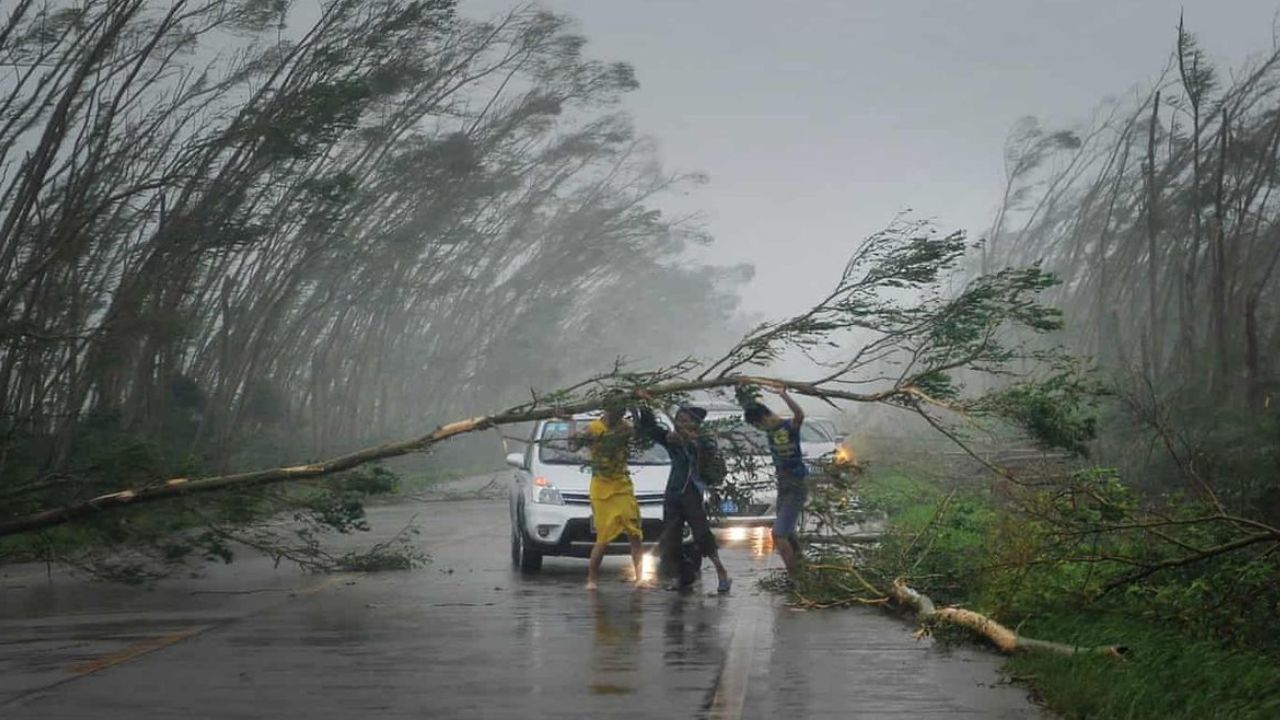
The threat is twofold: while the heavy rainfall poses an immediate risk of flash flooding and waterlogging in low-lying areas, the wind speeds—projected to hit 80 kmph in localized pockets—present a severe risk to infrastructure, standing crops, and public safety. The IMD has highlighted that these wind speeds are sufficient to cause structural damage to temporary shelters and uproot trees, potentially obstructing vital transport arteries in mountainous districts. Travelers are strongly advised to monitor real-time updates, as visibility is expected to drop sharply during these intense weather windows, making navigation in hilly terrain particularly hazardous.
Agronomic Risks and Crop Protection Measures
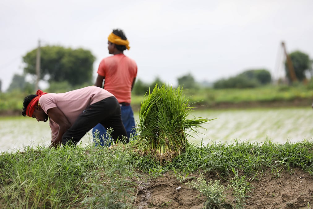
For the farming sector, this weather event arrives at a critical juncture in the kharif cropping season. Heavy rainfall combined with high-velocity winds can be devastating for crops that are currently in the vegetative growth phase. Paddy, which requires significant water, can still suffer from lodging if wind gusts are strong enough to flatten the stalks, while horticultural crops are highly susceptible to physical damage from hail.
Hail, in particular, acts as a blunt force, stripping leaves and damaging tender stems, which can lead to significant yield losses or secondary fungal infections if the plant tissue remains wounded in humid, post-storm conditions. Furthermore, the saturated soil profiles resulting from torrential downpours increase the risk of nutrient leaching, particularly nitrogen, which can lead to stunted growth and yellowing of foliage in the weeks following the weather event.
What This Means for Farmers
The intensity of this forecast requires immediate, proactive management to mitigate potential losses. Farmers in the affected 16 states should prioritize the following actions:
- Ensure Field Drainage: Before the onset of the heaviest rains, clear all drainage channels to prevent water stagnation. Excess water in the root zone for prolonged periods can lead to root rot and suffocation of the crop.
- Support Standing Crops: Where possible, provide structural support for high-value vegetable crops or horticultural plantations. While large-scale measures may be difficult, securing stakes or using windbreaks can prevent total collapse.
- Delay Fertilizer Application: Do not apply top-dressing fertilizers or pesticides immediately before or during the predicted window of heavy rain. The runoff will render these inputs ineffective, resulting in economic waste and potential environmental leaching.
- Monitor for Pest Outbreaks: High humidity and post-storm stress often trigger pest and disease outbreaks. Scout fields diligently in the 48 to 72 hours following the rainfall to identify early signs of fungal pathogens or pest infestations.
- Livestock Safety: Ensure that livestock are sheltered in sturdy, wind-resistant structures. High winds can cause debris to fly, posing a direct threat to animals housed in open fields or poorly maintained sheds.
Ultimately, the current weather pattern serves as a stark reminder of the increasing volatility of the monsoon season. Farmers are encouraged to stay connected with local Krishi Vigyan Kendras (KVKs) and utilize digital weather forecasting tools to make informed, data-driven decisions that protect both their harvest and their livelihood.