IMD Issues High-Alert Warning: Heavy Rains and Cyclonic Activity Forecast Across 16 States
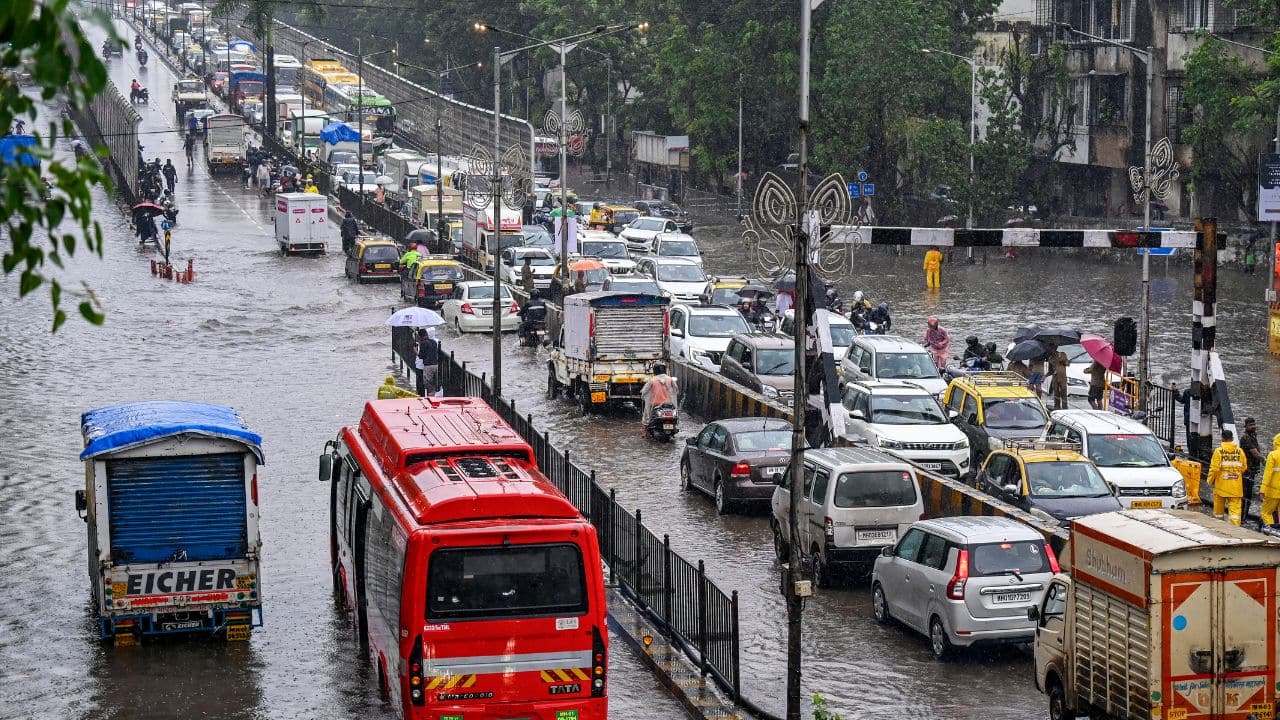
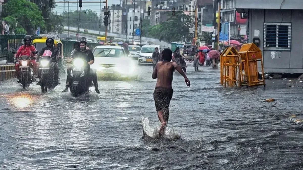
The India Meteorological Department (IMD) has issued a critical weather bulletin for July 22, signaling a period of intense atmospheric instability across a significant portion of the country. With a total of 16 states currently under varying degrees of meteorological observation, the national forecaster has highlighted a high-risk environment characterized by torrential rainfall, potential waterlogging, and localized cyclonic activity. The most severe warnings have been reserved for Western India, where the combination of sustained monsoon moisture and shifting pressure systems threatens to disrupt agricultural operations and infrastructure.
Red Alert Declared: Focusing on Gujarat and Central Maharashtra
The IMD has elevated its response to a "Red Color Warning" for specific regions within Gujarat and Central Maharashtra. This classification indicates that weather conditions are expected to reach a threshold that poses a significant risk to life, property, and agricultural output. Meteorologists attribute this surge in precipitation to an active monsoon trough interacting with offshore vortices, leading to an intensification of cloud cover and sustained high-volume rainfall.
The primary concern for these regions is the potential for flash flooding and severe waterlogging. In agricultural zones, the saturation of the topsoil poses an immediate threat to standing crops, particularly in low-lying areas where drainage systems may be overwhelmed. The IMD’s advisory emphasizes that the rainfall is likely to be "extremely heavy," which can lead to the rapid swelling of local rivers, streams, and irrigation canals, potentially isolating rural communities and hindering the movement of essential farm inputs and harvest logistics.
Cyclonic Instability and Broad-Spectrum Impact
Beyond the immediate threat of flooding, the IMD has issued a stern warning regarding the potential for localized cyclonic activity. Throughout the affected 16 states, wind speeds are anticipated to reach 40 to 50 kmph. While these speeds may not constitute a large-scale tropical cyclone, they are sufficiently powerful to cause significant damage to standing crops, particularly those in the vegetative growth phase or crops that are structurally vulnerable to high-velocity winds.
The atmospheric instability is expected to manifest in gusty conditions that can result in lodging—the bending or breaking of crop stalks—which drastically reduces yield quality and complicates mechanized harvesting. Furthermore, the combination of heavy rain and high winds creates a "double-threat" scenario: the wind damages the structural integrity of the plant, while the excessive water promotes fungal pathogens and root rot. Farmers are advised to monitor local weather stations and remain vigilant, as these weather systems can shift rapidly, bringing sudden squalls that may cause localized destruction even in areas not directly in the path of the primary monsoon surge.
What This Means for Farmers
For the farming community, this meteorological bulletin serves as an urgent call to prioritize risk mitigation and field management. The immediate priority is the assessment of field drainage. If possible, farmers should ensure that drainage channels are cleared of debris to allow for the rapid evacuation of excess water, which is the most effective way to prevent crop loss due to waterlogging.
Actionable Advice for Farmers:
- Crop Protection: In regions expecting high winds, consider installing windbreaks or temporary supports for high-value horticultural crops. For cereal crops, ensure that fields are not over-fertilized with nitrogen immediately prior to the storm, as this can make stalks more succulent and prone to lodging.
- Livestock Safety: Ensure that livestock are moved to higher, reinforced shelters. High winds and heavy rain can lead to hypothermia in younger animals and increase the risk of infectious diseases spread through contaminated water sources.
- Equipment Storage: Secure all portable farm machinery, irrigation equipment, and inputs in covered storage to prevent damage from wind-borne debris or floodwater.
- Post-Event Monitoring: Once the weather system passes, farmers should scout their fields for signs of disease outbreak. Excessive moisture is a primary catalyst for fungal diseases; preemptive consultation with local agricultural extension offices regarding fungicide application may be necessary to protect the remaining crop yield.
The economic impact of such weather events can be substantial. Beyond immediate crop losses, farmers should document any significant damage to their fields or infrastructure. Keeping detailed records—including photographs of flooded fields or damaged equipment—is essential for potential insurance claims or government disaster relief applications. Staying connected to local weather updates via mobile alerts or agricultural radio services remains the most effective strategy for navigating these volatile monsoon conditions.