The Meteorological Anomaly: Understanding the PDO and Gujarat’s Deluge
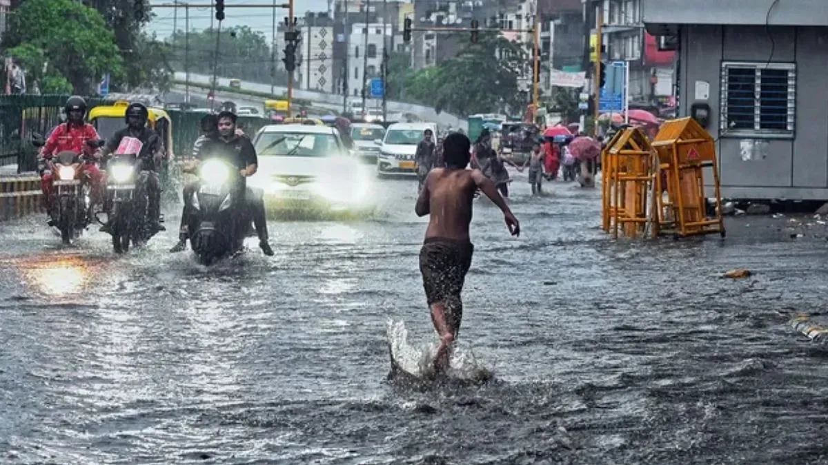
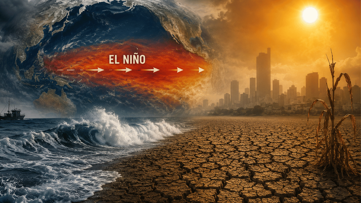
Gujarat has recently faced an unprecedented meteorological event, with several regions recording over 400 millimeters of rainfall within a matter of hours. This extreme weather phenomenon, which resulted in widespread waterlogging and logistical disruptions across the state, has left agricultural experts and meteorologists questioning how such an intensity of precipitation could occur despite the presence of El Niño conditions—a global climate pattern typically associated with suppressed rainfall and drought-like scenarios in the Indian subcontinent.
The answer lies in the complex interplay between oceanic oscillations and regional atmospheric dynamics. While El Niño exerts a significant influence on global weather, it is not the sole determinant. The Pacific Decadal Oscillation (PDO), a long-term ocean-atmosphere climate variability centered over the Pacific Ocean, has emerged as a critical factor that can modulate, and in some cases override, the traditional impacts of El Niño. By altering the positioning of high and low-pressure systems, the PDO has facilitated a moisture-rich environment that fueled the recent extreme rainfall events in Western India.
Deciphering the Pacific Decadal Oscillation (PDO)
The Pacific Decadal Oscillation is often described as a long-lived, El Niño-like pattern of Pacific climate variability. Unlike the El Niño-Southern Oscillation (ENSO), which typically fluctuates on a cycle of two to seven years, the PDO operates on a much longer decadal scale, spanning 20 to 30 years. It is characterized by shifts in sea surface temperatures (SSTs) in the northern and tropical Pacific Ocean.
When the PDO is in its "positive" phase, the western Pacific becomes cooler, while the eastern Pacific—along the coast of the Americas—warms up. Conversely, during a "negative" phase, the opposite occurs. This shift directly impacts the strength and position of the jet streams, which act as atmospheric highways for weather systems. In the context of the Indian Monsoon, a favorable PDO phase can enhance the transport of moisture-laden winds from the Arabian Sea toward the Indian peninsula. When these moisture corridors align with localized low-pressure systems or cyclonic circulations, they can trigger explosive convective activity, leading to the kind of record-breaking rainfall intensity witnessed in Gujarat.
The Battle of Climate Drivers: Why El Niño Failed to Suppress the Rain
Historically, El Niño is synonymous with a weakened monsoon for India, as it typically shifts the Walker Circulation in a way that creates subsidence—or sinking air—over the subcontinent, which inhibits cloud formation and precipitation. However, climate science is increasingly recognizing the role of "teleconnections," where remote oceanic changes influence distant weather patterns.
In this instance, the PDO acted as a counterbalance to the overarching El Niño influence. By promoting a more conducive atmospheric environment over the Arabian Sea, the PDO facilitated the accumulation of high precipitable water content. As these moisture-heavy air masses made landfall in Gujarat, the interaction with local topography and specific wind shear conditions acted as a catalyst. The result was a rapid release of accumulated moisture in a very short window, effectively overriding the drying tendencies associated with the El Niño cycle. This highlights the growing unpredictability of climate patterns, where traditional indicators are increasingly being complicated by secondary oscillations.
What This Means for Farmers
The shift toward these extreme, localized, and high-intensity rainfall events presents a significant challenge for the farming community in Gujarat and beyond. The practical implications are profound:
- Soil Erosion and Nutrient Management: High-intensity rainfall within a few hours causes rapid surface runoff, leading to significant topsoil erosion and the leaching of essential nutrients like nitrogen and potassium. Farmers should prioritize field bunding and the creation of drainage channels to manage excess water flow and preserve soil integrity.
- Crop Vulnerability: Standing crops, particularly those in the flowering or grain-filling stages, are highly susceptible to lodging and waterlogging. The risk of fungal infections and root rot increases exponentially after such events. Proactive monitoring for pest outbreaks and disease, which thrive in high-humidity post-rain conditions, is essential.
- Need for Climate-Resilient Infrastructure: Given that the PDO and other climate drivers are creating more erratic weather, reliance on traditional sowing calendars is becoming riskier. Farmers are encouraged to invest in micro-irrigation systems that can also serve as drainage conduits and to explore short-duration, flood-tolerant crop varieties.
- Data-Driven Decision Making: Farmers should leverage block-level weather forecasts and agricultural advisories. Because extreme events are becoming more localized, hyper-local data from automatic weather stations is becoming a critical tool for timing fertilizer applications and harvesting operations to avoid significant yield losses.
Ultimately, the recent events in Gujarat serve as a stark reminder that regional agriculture is no longer just subject to seasonal cycles, but to complex, multi-layered global climate interactions. Adapting to this new reality requires a shift toward more resilient, water-managed, and technologically-informed farming practices.