IMD Issues High-Alert Warning as Heavy Monsoon Rains Sweep Across India
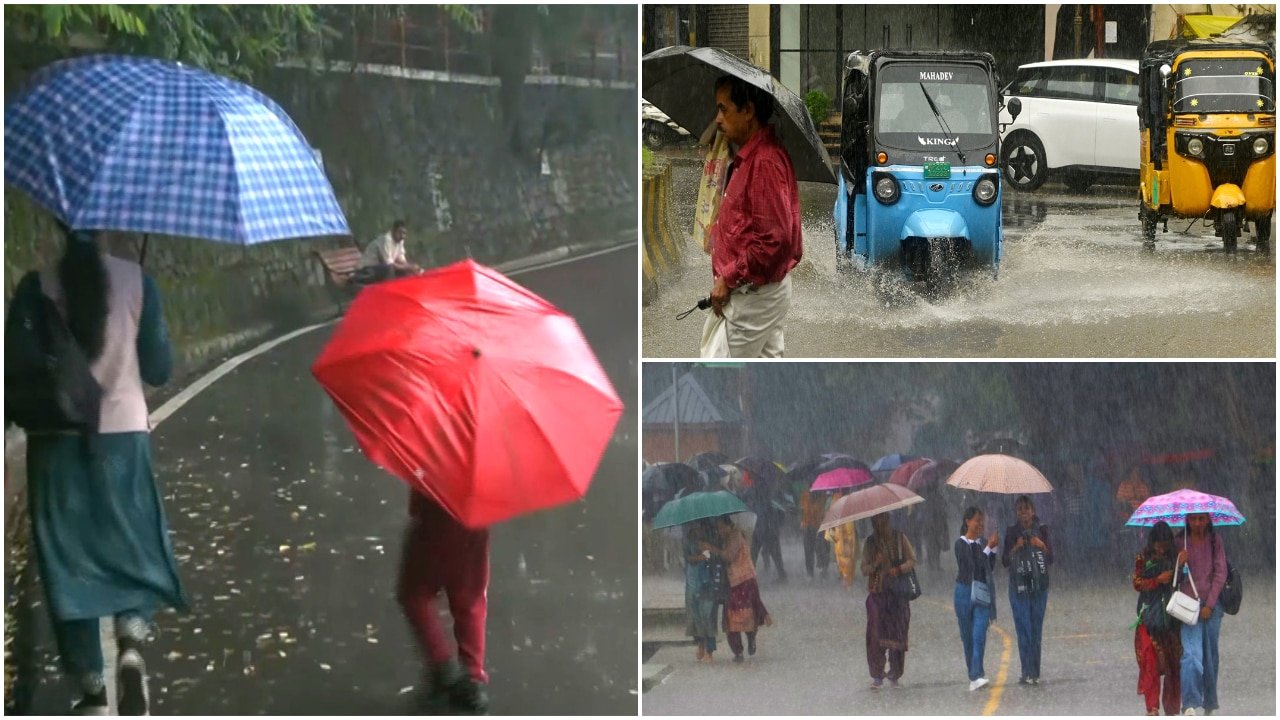
The India Meteorological Department (IMD) has issued a series of urgent weather alerts as a robust monsoon surge prepares to lash several regions across the country. With the monsoon trough remaining active, weather forecasters have signaled an intensification of rainfall that is expected to persist through mid-August. Among the most significant developments is the issuance of an orange alert for Himachal Pradesh, a region already grappling with the complexities of monsoon-induced geological instability.
The latest meteorological data indicates that heavy to very heavy rainfall is likely to affect a broad swathe of northern and central India. This active weather pattern is not limited to the mountains; coastal regions are also bracing for significant precipitation as moisture-laden winds from the Arabian Sea continue to converge over the peninsula. Authorities are urging residents and agricultural stakeholders to remain vigilant as the IMD monitors the situation closely for potential flash flooding and localized waterlogging.
Regional Breakdown: From Mountain Peaks to Coastal Belts
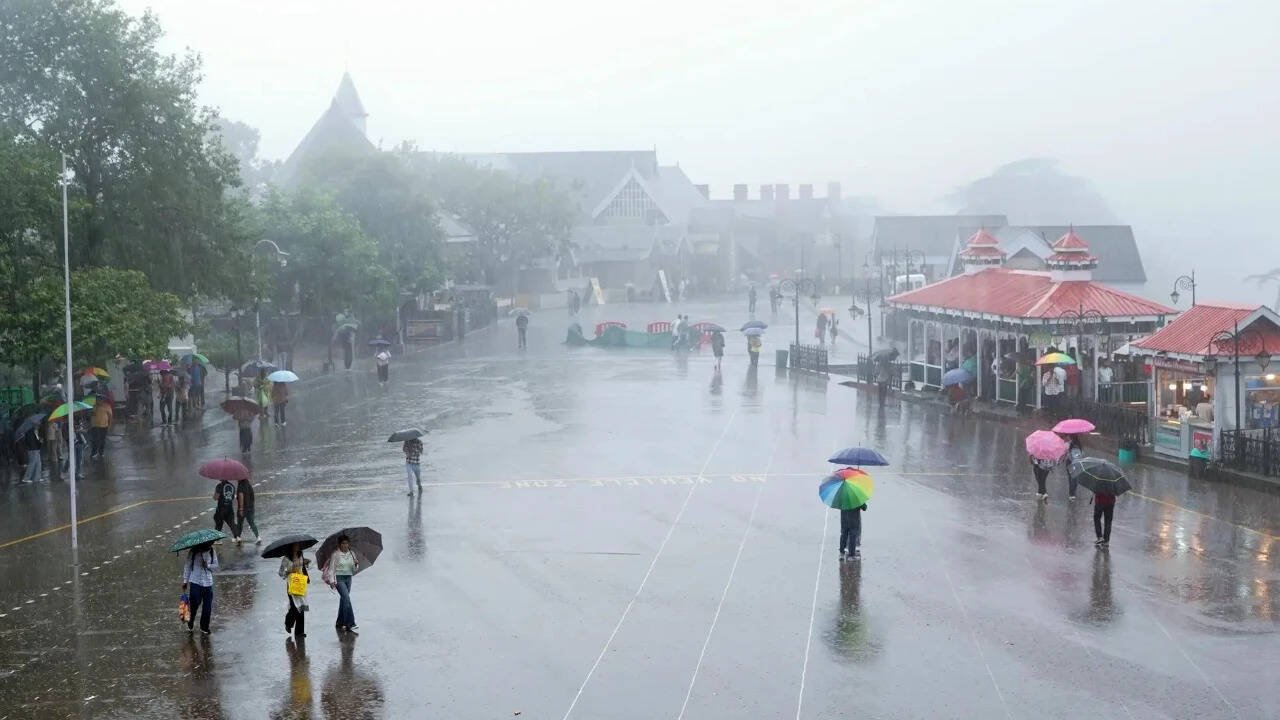
The IMD’s forecast highlights a multi-regional impact of the current weather system. In northern India, Himachal Pradesh remains the primary focus of concern. The orange alert signifies the potential for severe weather conditions, including landslides and the sudden swelling of mountain streams, which are common hazards in the Himalayan terrain during the peak monsoon season. Local administrations have been advised to prepare for emergency response and ensure that communication lines remain open in vulnerable, high-altitude villages.
Simultaneously, the central and western corridors are expecting sustained precipitation. The Konkan and Goa regions, along with coastal Karnataka, are slated for widespread rainfall. These areas are particularly sensitive to high-intensity showers, which can rapidly saturate soil and overwhelm drainage infrastructure. Beyond the western coast, the forecast extends into the Northeast, where the IMD has warned of frequent thunderstorms and lightning strikes. These atmospheric disturbances, while common in the region, pose a heightened risk to outdoor activities and rural infrastructure, necessitating caution among the local population.
Monsoon Persistence and Meteorological Drivers
The current volatility in weather patterns is attributed to an active monsoon trough that is expected to sustain its momentum through August 15. Meteorologists note that the convergence of low-pressure systems is driving the heavy rainfall, ensuring that the monsoon remains vigorous across the subcontinent. This period is critical for the agricultural calendar, as the timing and volume of rainfall directly influence the health and maturity of primary kharif crops.
While the monsoon is essential for replenishing reservoirs and groundwater tables, the intensity predicted by the IMD requires a delicate balance. Sustained, heavy downpours in a short timeframe can lead to nutrient leaching in soil and physical damage to standing crops. As the IMD continues to track the movement of these weather systems, the focus remains on the transition from a beneficial monsoon to potentially hazardous conditions, particularly in regions where the soil profile is already near saturation.
What This Means for Farmers
For the farming community, these weather alerts serve as a critical prompt for immediate field management adjustments. The primary objective during this period of heavy rainfall is to mitigate crop damage and prevent the loss of topsoil.
Drainage Management: Farmers in low-lying areas should prioritize the clearing of drainage channels to prevent water stagnation. Excess water remaining in fields for extended periods can lead to root rot and fungal infections, particularly in sensitive pulse and oilseed crops.
Input Protection: With heavy rainfall and thunderstorms forecast, farmers are advised to delay the application of fertilizers and pesticides. Applying these inputs immediately before heavy rain leads to significant runoff, resulting in both economic waste and environmental degradation as chemicals wash into local water bodies.
Livestock Safety: Ensure that livestock are moved to elevated, dry shelters. Thunderstorms and lightning present a direct danger to animals; keeping herds away from isolated trees or high-tension power lines is essential during the forecasted period of atmospheric instability.
Market Planning: Given the potential for transport disruptions due to landslides or flooded roads, farmers should monitor local logistics and market accessibility. It may be prudent to complete any urgent harvests or transport produce to storage facilities before the peak of the predicted weather activity hits. Staying updated with IMD bulletins via local agriculture extension offices or weather apps is highly recommended to make informed, real-time decisions as conditions evolve.