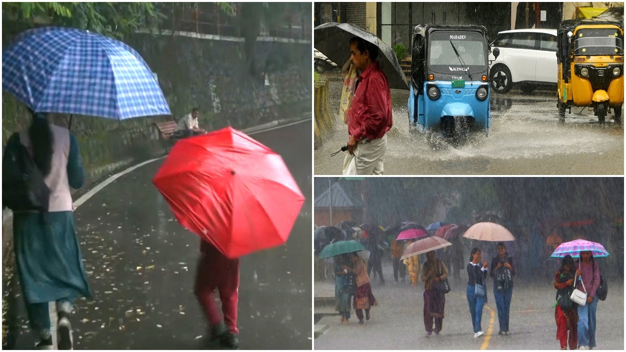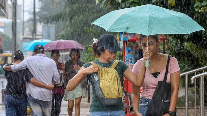
Monsoon Intensification: IMD Predicts Widespread Rainfall Across Northern India
The India Meteorological Department (IMD) has issued a significant weather alert indicating a substantial surge in monsoon activity set to impact large swathes of Northern India this coming Tuesday, August 11. Meteorological models suggest a strengthening of low-pressure systems, which is expected to trigger widespread precipitation, thunderstorms, and intense localized downpours across several key agricultural states, including Delhi, Haryana, Chandigarh, and Punjab.
This uptick in activity marks a critical juncture in the monsoon season. While the arrival of monsoon rains is generally welcomed for replenishing groundwater levels and supporting the Kharif crop cycle, the intensity projected for this week raises concerns regarding potential waterlogging, flash flooding in low-lying areas, and the physical stress placed on standing crops. Regional authorities are already coordinating with disaster management teams to ensure that public infrastructure and rural communities are prepared for the sudden shift in atmospheric conditions.
Understanding the Meteorological Dynamics
The current weather pattern is being driven by a combination of moisture-laden winds from the Arabian Sea and the Bay of Bengal, which are converging over the northern plains. This convergence, compounded by a favorable position of the monsoon trough, is creating an environment conducive to cloud formation and sustained convective activity. Meteorologists note that the forecast for Tuesday involves not just steady rainfall, but also intermittent bursts of heavy intensity, which are often accompanied by gusty winds and lightning strikes.
In regions such as Punjab and Haryana, which serve as the breadbasket of the nation, the impact of such weather events is magnified by the current stage of crop development. The IMD’s predictive mapping highlights that while the rainfall is expected to be widespread, the distribution may be uneven. Some districts could witness moderate, beneficial showers, while others might experience isolated heavy rainfall events that could result in localized pooling of water, particularly in fields with poor drainage infrastructure.
Mitigating Risks During High-Intensity Weather Events
The threat of thunderstorms and heavy downpours necessitates a heightened state of vigilance for both urban and rural populations. For farmers, the primary concern during such weather shifts is the potential for lodging—where heavy rain and wind cause tall crops to bend or fall over—and the disruption of essential field operations. Furthermore, intense precipitation can lead to soil erosion in vulnerable areas and the leaching of essential nutrients, potentially impacting the overall yield potential of the season.
Agricultural experts emphasize the importance of monitoring local weather updates issued by state-level agricultural universities and district-level IMD bureaus. As the weather system moves through the northern belt, the primary objective for agricultural stakeholders is to minimize exposure to risks associated with extreme weather, including the secure storage of harvested produce or inputs and the clearing of drainage channels to prevent field saturation.
What This Means for Farmers
The impending heavy rainfall carries both immediate operational challenges and long-term economic implications for the farming community. To navigate the next 48 to 72 hours effectively, farmers should prioritize the following actions:
- Drainage Management: Ensure that field drainage channels are clear of debris and vegetation to facilitate the rapid removal of excess water. Preventing stagnant water is critical for avoiding root rot and other moisture-related pathologies in Kharif crops.
- Input Application Pause: Avoid the application of fertilizers, pesticides, or herbicides in the 24 hours preceding and following heavy rain. Rainfall can wash away these inputs, leading to economic waste and potential environmental runoff.
- Livestock Safety: Move livestock to higher, sheltered ground and ensure that fodder supplies are kept in moisture-proof conditions to prevent fungal contamination.
- Monitoring for Pests: High humidity and moisture levels often trigger a surge in pest populations and fungal diseases. Following the storm, farmers should conduct thorough field inspections to identify early signs of stress or infestation that may require intervention.
- Economic Preparedness: Understand that localized flooding may temporarily disrupt transport logistics, affecting the movement of perishable goods to local mandis. Planning for potential short-term delays in supply chain operations is advisable.
By staying informed through official channels and taking proactive steps to fortify fields and storage facilities, farmers can better manage the volatility of this monsoon surge and protect their investments against the unpredictability of the season.