Meteorological Alert: Widespread Rainfall and Storm Threats Loom Over 19 States
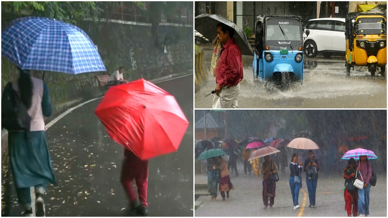
The India Meteorological Department (IMD) has issued a comprehensive weather warning covering 19 states, signaling a period of intense atmospheric instability effective August 12. As monsoon currents strengthen across the subcontinent, meteorologists are tracking multiple active weather systems, including cyclonic circulations and troughs, that are expected to bring significant precipitation, lightning strikes, and high-speed winds. This alert encompasses a vast geographic range, from the northern plains and the National Capital Region to pockets of the southern peninsula and eastern coastal belts.
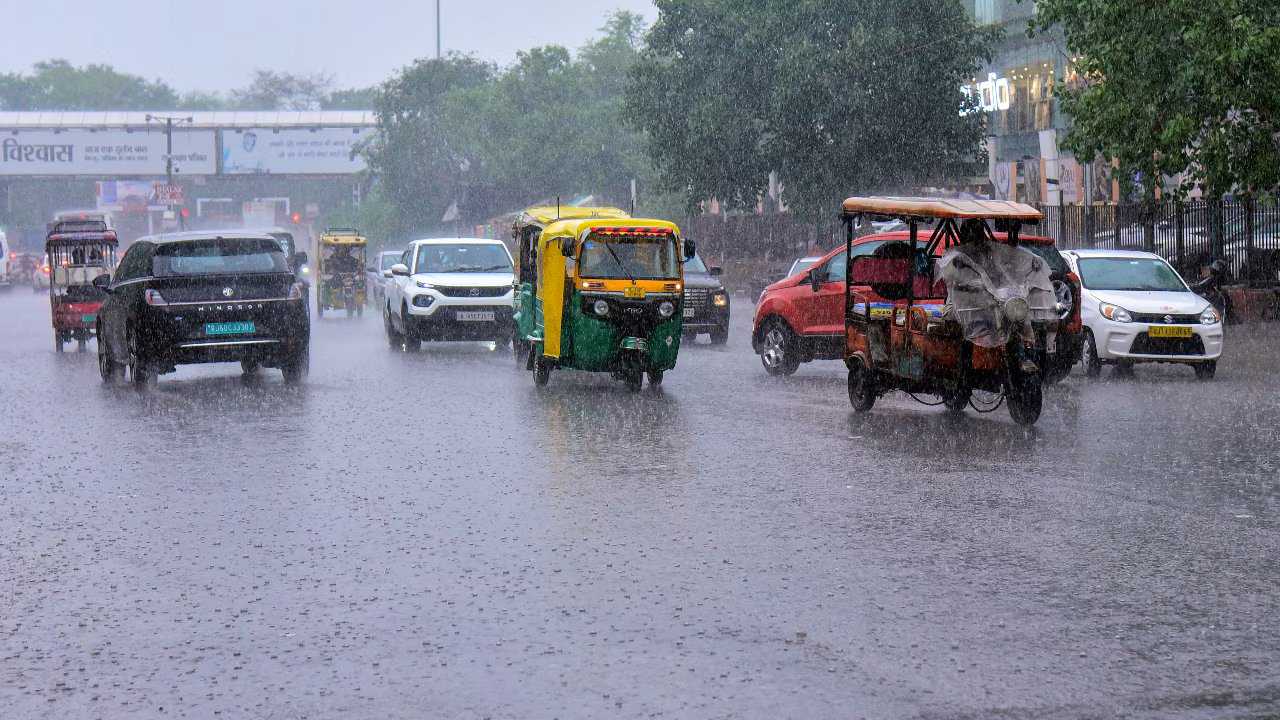
For the national capital, Delhi, the forecast indicates a high probability of moderate to heavy rainfall accompanied by gusty winds. This shift in weather patterns is anticipated to provide a temporary reprieve from high humidity levels, though the intensity of the downpours poses logistical challenges for urban infrastructure and agricultural logistics in the surrounding rural hinterlands. Regional authorities have been advised to remain on high alert as the combination of heavy moisture influx and wind speeds could lead to localized flooding and disruption of transport corridors.
Drivers of the Current Weather System
The current meteorological situation is being driven by the convergence of moisture-laden winds from the Arabian Sea and the Bay of Bengal. This dual-source moisture feed, when interacting with localized thermal heating, creates ideal conditions for the formation of convective clouds—the primary source of sudden, intense thunderstorms. Such systems are characterized by their ability to dump significant volumes of water in short durations, often accompanied by lightning, which is a particular concern for open-field operations.
Across the 19 affected states, the IMD has categorized the warnings into varying levels of severity. In mountainous regions, the primary risk remains the potential for landslides and flash floods, which can severely compromise road connectivity and supply chains. In the plains, the focus is on the sustained moisture levels that, while beneficial for reservoir replenishment, may lead to waterlogging in low-lying agricultural basins. The high-speed winds, expected to accompany these storms, add a layer of mechanical risk to standing crops, particularly those in sensitive growth stages.
Agronomic Implications and Crop Management
The onset of heavy rainfall during the mid-monsoon period presents a complex duality for the agricultural sector. On one hand, the precipitation is vital for the recharge of soil moisture and the filling of irrigation reservoirs, which are essential for sustained crop health through the remainder of the season. On the other hand, excessive water accumulation can trigger physiological stress in crops, specifically through root zone waterlogging, which inhibits nutrient uptake and increases the susceptibility of the crop to fungal pathogens.
Agronomists emphasize that the primary danger during this period is not just the total rainfall volume, but the intensity of the storm events. High-speed winds can cause 'lodging'—a process where stems are bent or broken, leading to significant yield losses and complicating mechanical harvesting efforts. Furthermore, the increased humidity levels following storm events provide a conducive environment for the rapid spread of airborne diseases, such as bacterial blight or various rusts, which can escalate quickly if fields are not monitored closely.
What This Means for Farmers
For the farming community, this meteorological alert necessitates immediate and proactive risk management to protect seasonal investments. The following actions are recommended to mitigate potential damage:
- Drainage Management: Prioritize the clearance of field drainage channels. Ensuring that excess water can move away from the root zone is the most effective defense against waterlogging and the subsequent risk of root rot.
- Monitor for Pathogens: Post-storm periods are critical for disease development. Farmers should conduct thorough field inspections within 48 hours of heavy rainfall to identify early signs of fungal or bacterial infections. Consulting with local extension offices for prophylactic treatment advice is recommended.
- Wind Protection: For crops in vulnerable stages, consider the installation of windbreaks or, where feasible, temporary staking for high-value horticultural crops. Avoid the application of fertilizers or pesticides during the immediate window of high-wind alerts, as drift will render these applications ineffective and wasteful.
- Logistical Planning: Given the potential for transport disruptions, farmers should anticipate delays in the delivery of inputs or the movement of harvested perishables to market. It is advisable to secure harvested produce in moisture-controlled environments to prevent spoilage during the rainy spell.
- Safety Protocols: Above all, prioritize human safety during thunderstorms. Avoid working in open fields, near lone trees, or near metal equipment when lightning is present. Stay informed through local radio and mobile weather alerts to adjust daily operational plans in real-time.