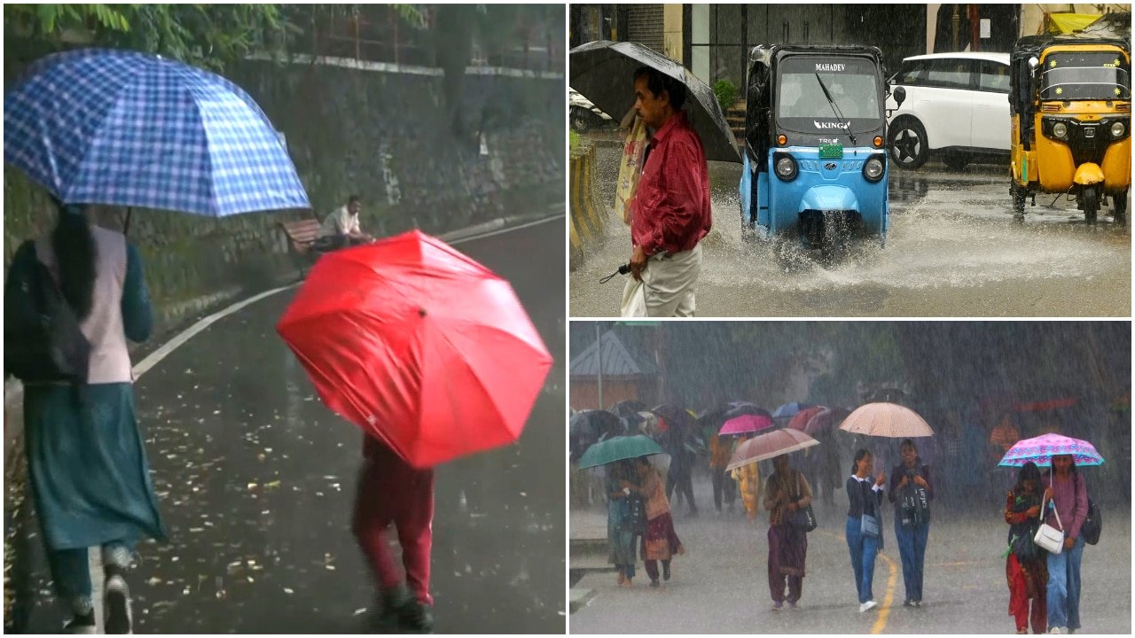
Monsoon Trends in Odisha: Excess Rainfall Amidst El Nino Conditions
Despite the prevailing influence of the El Nino weather phenomenon, the state of Odisha has recorded a significant 29% excess rainfall for the period leading up to August 18. This development highlights a notable deviation from initial meteorological expectations, as weather systems originating in the Bay of Bengal have played a critical role in shaping the monsoon’s performance across the region.
According to reports from Argus English, the actual rainfall figures have challenged the earlier monsoon forecasts provided by the India Meteorological Department (IMD). While the El Nino effect is typically associated with suppressed or erratic monsoon activity across parts of India, Odisha’s experience indicates a more complex interaction of regional weather systems.
Understanding the Impact of Bay of Bengal Systems
The monsoon season in India is often dictated by a delicate balance between global climate drivers, such as El Nino, and regional atmospheric conditions. The term El Nino refers to the periodic warming of sea surface temperatures in the central and eastern Pacific Ocean, which frequently alters global weather patterns and, historically, has been linked to reduced rainfall in the Indian subcontinent.
However, as noted by the source, the current season has seen the Bay of Bengal act as a primary driver for precipitation in Odisha. The formation of weather systems over this water body has effectively countered the broader negative influence of El Nino, leading to an accumulation of rainfall that exceeds long-term averages for the state.
The Shift in IMD Monsoon Forecasts
The India Meteorological Department (IMD) regularly issues seasonal forecasts to predict the distribution and intensity of the monsoon. The recent data suggests that these projections have been significantly overturned by the localized strength of weather activity in the state.
The key takeaways regarding the current monsoon situation include:
- Excess Precipitation: Odisha has officially recorded a 29% surplus in rainfall compared to the normal expected levels up to August 18.
- Regional vs. Global Drivers: While El Nino maintains a strong presence over India generally, its specific impact on Odisha appears to have been mitigated by active systems in the Bay of Bengal.
- Forecast Variance: The actual outcome of the monsoon in Odisha has diverged from initial models, demonstrating the difficulty of predicting localized weather events when competing with large-scale climate phenomena.
Why Odisha's Rainfall Patterns Matter
The discrepancy between national-level forecasts and state-level outcomes underlines the importance of regional monitoring. Because the Bay of Bengal frequently spawns low-pressure areas and depressions that track across the eastern coast of India, the state is uniquely positioned to receive rainfall even when larger climate indicators suggest a drier season.
The information provided by Argus English emphasizes that while El Nino remains a powerful factor in the broader Indian monsoon narrative, the specific meteorological trajectory of Odisha remains heavily dependent on the frequency and intensity of systems developing in the adjacent sea. This recent 29% surplus serves as a reminder of how regional maritime activity can override global weather patterns.
As the monsoon season continues, the interaction between these persistent atmospheric factors will remain a primary focus for meteorological analysis in the region.