Odisha Braces for Intensified Weather as Low-Pressure System Triggers Heavy Rainfall Alerts
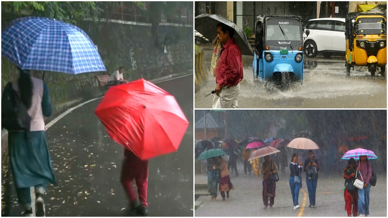
The India Meteorological Department (IMD) has issued urgent weather warnings for several districts across Odisha, as a developing low-pressure system continues to influence regional atmospheric conditions. The meteorological agency has placed key districts, including Cuttack, Mayurbhanj, and Angul, under high alert for heavy to very heavy rainfall, accompanied by intense thunderstorm activity. This shift in weather patterns comes as the state remains vigilant against the potential for localized flooding and significant disruptions to agricultural operations.
According to the latest bulletin, the low-pressure area is currently driving moisture-laden winds across the region, creating an environment conducive to sustained precipitation. While these rains are critical for replenishing water reservoirs and supporting late-season crop development, the intensity of the projected downpours raises concerns regarding soil erosion, waterlogging in low-lying fields, and the structural integrity of standing crops. State disaster management authorities are coordinating with district-level agencies to ensure preparedness, particularly in areas prone to flash flooding.
Meteorological Drivers and Regional Impact
The current weather disturbance is characterized by a cyclonic circulation that has consolidated into a low-pressure zone, drawing significant moisture from the Bay of Bengal. For districts like Mayurbhanj and Angul, the topography—which includes hilly terrain and undulating plains—increases the vulnerability to rapid runoff. Meteorological experts note that the combination of high humidity and sudden temperature fluctuations is fueling the development of convective clouds, which are responsible for the severe thunderstorms reported in the forecast.
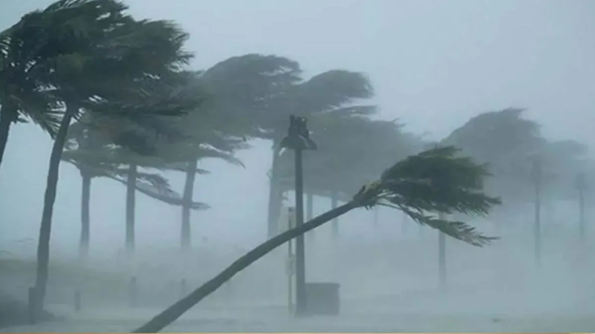
In urban and semi-urban centers like Cuttack, the primary concern remains urban flooding and the potential for infrastructure damage due to gusty winds. The IMD has advised residents and agricultural operators to monitor local updates closely, as the trajectory of such systems can shift rapidly. The intensity of the rainfall is expected to vary, with some regions likely to experience brief, high-volume deluges that can overwhelm drainage systems and irrigation infrastructure that is already saturated from previous monsoon activity.
Agricultural Vulnerabilities and Risk Mitigation
For the farming community, the timing of this weather event is critical. Depending on the current stage of the crop cycle, heavy rainfall can have vastly different outcomes. In regions where crops are nearing maturity, excessive moisture during the harvest period can lead to grain discoloration, fungal infections, and post-harvest losses. Conversely, in areas where late-sown crops are in the vegetative stage, the immediate risk is physical damage from hail or high-velocity winds accompanying the thunderstorms.
Agronomists suggest that the primary risk to soil health during these heavy rain events is the leaching of essential nutrients and the compaction of topsoil, which can restrict root respiration. Furthermore, persistent moisture levels significantly increase the risk of pest and disease outbreaks, particularly bacterial blight and leaf spot diseases, which thrive in high-humidity, wet conditions. Farmers are encouraged to inspect their fields immediately following the cessation of the heaviest rains to assess for standing water and implement drainage measures where necessary.
What This Means for Farmers
The IMD alert serves as a vital signal for farmers to prioritize risk management over the coming days. To minimize the economic impact of the predicted weather, the following actions are recommended:
- Drainage Maintenance: Ensure that field drainage channels are clear of debris to prevent waterlogging. Rapid removal of excess water is the single most effective way to protect root systems from hypoxia.
- Harvesting Adjustments: If crops are ready for harvest, prioritize immediate collection if weather windows permit. If harvesting must be delayed, ensure that cut crops are stored in raised, well-ventilated, and covered areas to prevent moisture damage.
- Preventative Plant Protection: Consult with local agricultural extension offices regarding the application of prophylactic fungicides. Wet conditions are ideal for the rapid spread of pathogens; a strategic, timely application can prevent widespread crop loss.
- Livestock Safety: Ensure that livestock are relocated to elevated, dry, and wind-protected shelters. Thunderstorms often bring sudden drops in temperature, which can cause significant stress to young or vulnerable animals.
- Monitoring and Documentation: Keep a close watch on local weather updates and maintain records of any crop damage. This documentation is essential should the government initiate any crop insurance claims or loss assessment processes following the event.
While the rainfall is a natural component of the regional climate, the severity of this specific system necessitates a proactive approach to farm management. By securing infrastructure and prioritizing the protection of vulnerable crops, producers can mitigate the most severe economic consequences of the current weather alert.