Weather Update: Heavy Rainfall Alert Issued for Central and Eastern India
The India Meteorological Department (IMD) has issued a weather warning regarding significant rainfall activity expected across large parts of the country. According to a report by Financial Express, a low-pressure area currently positioned over Gangetic West Bengal and the neighboring regions of Jharkhand and north Odisha is the primary driver behind this weather pattern.
The meteorological system is currently moving in a nearly northwestward direction. This movement is expected to bring heavy to very heavy rainfall to central and eastern states, impacting regional weather conditions significantly.
Understanding the Current Weather System
A low-pressure area is a region where the atmospheric pressure at the surface is lower than that of the surrounding locations. These systems are frequently associated with cloudiness, wind, and precipitation. As this specific system tracks northwestward from its current position near Gangetic West Bengal, Jharkhand, and north Odisha, it is expected to intensify rainfall activity in its path.
The IMD forecast indicates that the following regions should prepare for increased precipitation:
- Eastern India: Areas including Gangetic West Bengal and Jharkhand are currently under the influence of the low-pressure system.
- Central India: As the system moves northwest, states in the central belt are expected to experience heavy to very heavy rainfall.
- North Odisha: This region is also identified as being directly affected by the current atmospheric disturbance.
Regional Impact and Monsoon Trends
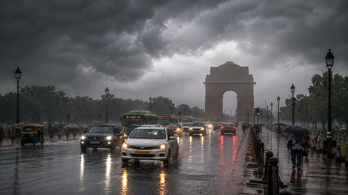
While the focus of the current weather alert is on the movement of the low-pressure system toward central and eastern parts of the nation, the broader monsoon landscape continues to show varied intensity. Reports highlight that Delhi-NCR has experienced a deepening rain surplus, reflecting the active nature of this year's monsoon season across different geographical zones.
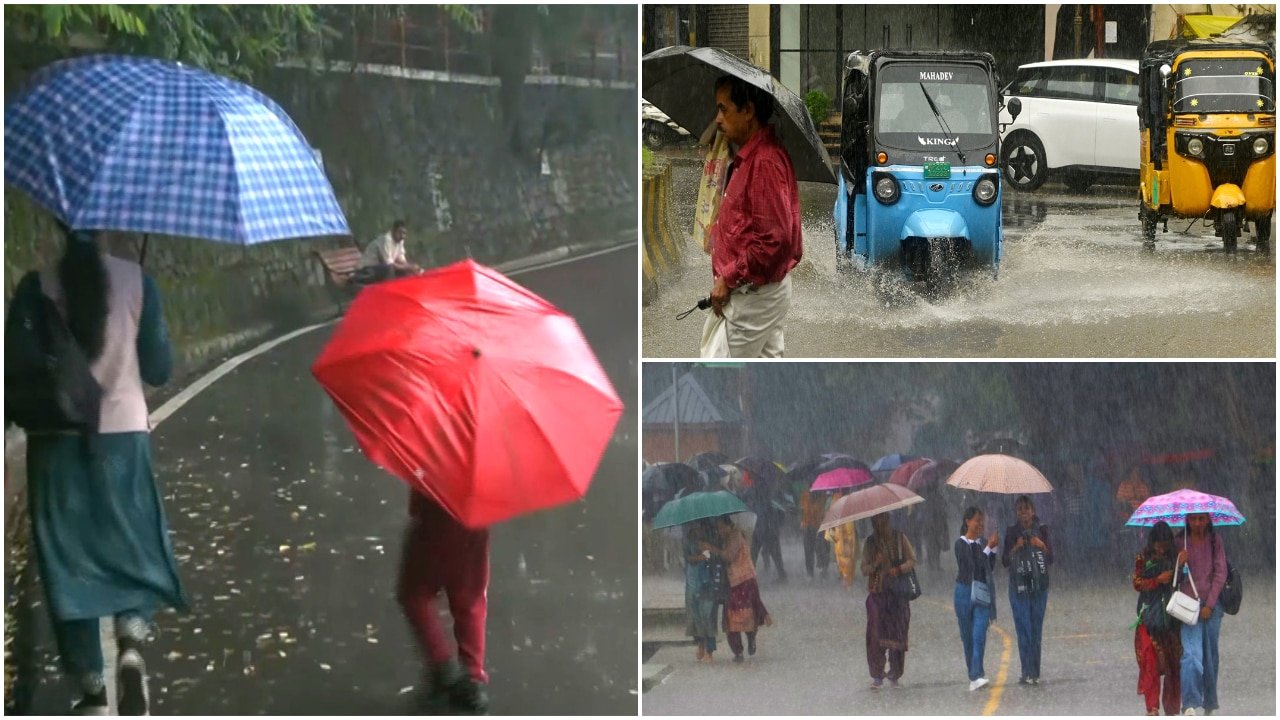
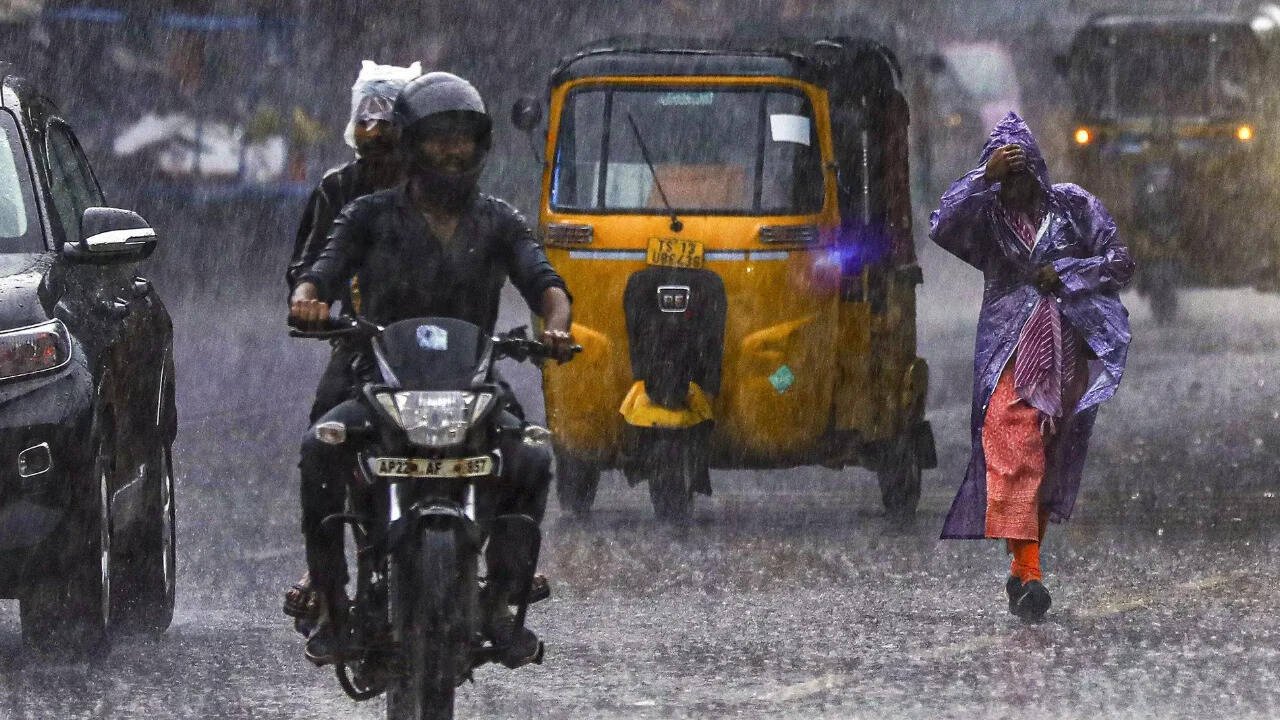
Residents and authorities in the affected states of Central and Eastern India are advised to stay updated with the latest weather bulletins provided by the India Meteorological Department. Heavy to very heavy rainfall can lead to localized waterlogging and disruptions in normal daily activities, making it essential for the public to monitor local forecasts as the low-pressure area continues its northwestward trajectory.
Staying Informed
As this weather event unfolds, the IMD continues to track the movement and intensity of the low-pressure system. The shift from the eastern regions toward the northwest suggests that the impact of this system will be felt across a wide corridor of the country over the coming period.
For those living in the path of the forecasted heavy rainfall, keeping track of official updates is the most effective way to manage potential travel disruptions or safety concerns associated with heavy monsoon rains.