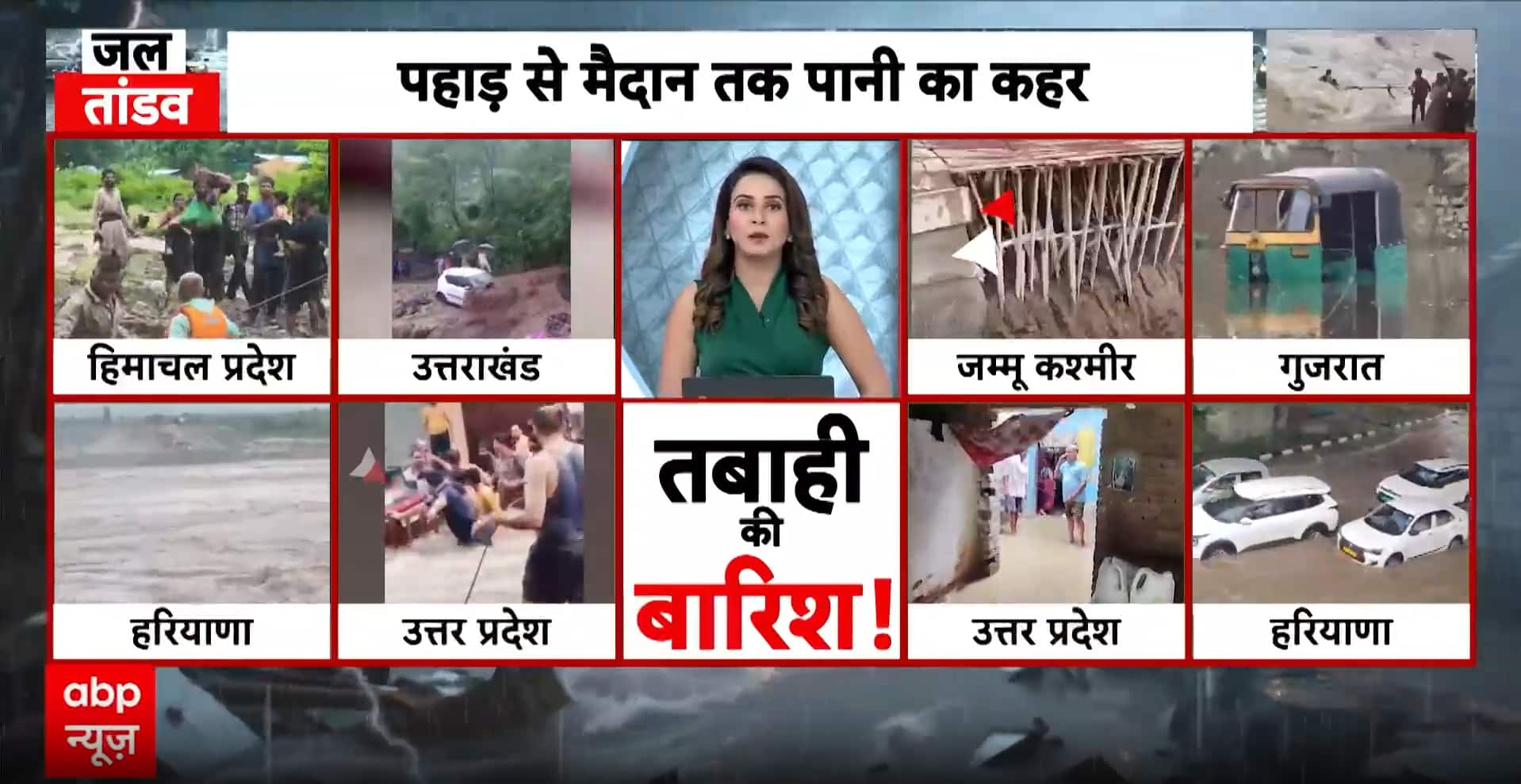
IMD Forecast: Widespread Rainfall and Severe Weather Alerts Across India
The India Meteorological Department (IMD) has issued a comprehensive weather outlook for the coming week, signaling a period of intense atmospheric activity across several key regions. As the monsoon season progresses, a convergence of weather systems is expected to bring heavy rainfall, gusty winds, and localized thunderstorms to large swathes of the country. With a new Western Disturbance poised to influence the northwestern territories starting August 4, agricultural stakeholders and the general public are being urged to remain vigilant against potential disruptions.
The latest meteorological data indicates that the moisture-laden winds from the Bay of Bengal and the Arabian Sea are interacting with inland troughs, creating conditions ripe for heavy precipitation. While the monsoon provides essential water for the Kharif crop cycle, the intensity of these upcoming spells poses significant challenges for logistics, infrastructure, and field management. The IMD’s alerts emphasize a high probability of heavy to very heavy rainfall in eastern and northeastern corridors, necessitating heightened preparedness.
Regional Impact and Meteorological Drivers
The primary driver for the expected weather pattern in northwest India is an incoming Western Disturbance. These systems, which typically originate in the Mediterranean region, often bring unseasonal weather; during the monsoon, they intensify the existing moisture flow, leading to prolonged spells of rain. States in the northwest, including Punjab, Haryana, and parts of Rajasthan, should anticipate intermittent heavy showers and strong surface winds that could impact standing crops.
Simultaneously, the eastern and northeastern belts remain under a high-alert status. States such as Bihar and Arunachal Pradesh are projected to experience concentrated precipitation. The orographic nature of the landscape in the northeast, combined with the current saturation levels of the soil, has prompted the IMD to issue warnings regarding the risk of flash floods and landslides. In Himalayan regions, where the ground is already heavily saturated from previous weeks of rain, the stability of slopes is a primary concern. Authorities have cautioned that even moderate additional rainfall could trigger localized soil movement, potentially obstructing key transport arteries and rural access roads.
Navigating Hazards and Travel Precautions
Beyond the agricultural implications, the IMD has issued clear guidance for travelers and commuters. The combination of intense rainfall and strong wind gusts creates hazardous driving conditions, including reduced visibility and the risk of hydroplaning on waterlogged surfaces. In urban and peri-urban areas, drainage systems may be overwhelmed, leading to temporary flooding in low-lying zones.
The official advisory suggests that individuals planning travel through the Himalayan states or regions prone to waterlogging should prioritize real-time traffic updates. Avoiding travel during peak storm hours and steering clear of areas identified as high-risk for flash floods is essential. For those in rural areas, the focus should be on clearing drainage channels around property and ensuring that livestock are moved to elevated, reinforced shelters before the onset of the heaviest rainfall.
What This Means for Farmers
For the farming community, this forecast serves as a critical window for proactive field management. The primary concern during periods of heavy, continuous rainfall is the risk of waterlogging in fields, which can lead to root rot and the leaching of essential soil nutrients, particularly nitrogen.
Actionable Advice for Farmers:
- Drainage Management: Ensure that field drainage channels are clear of debris to prevent water stagnation. In low-lying plots, creating temporary trenches can help divert excess water away from vulnerable crops.
- Crop Protection: For crops currently in the vegetative stage, high winds can cause lodging. If crops are tall, consider windbreaks or light support structures where feasible to minimize physical damage.
- Nutrient Application: Avoid the application of fertilizers or pesticides during the predicted heavy rain windows, as the runoff will significantly reduce the efficacy of these inputs and potentially contaminate local water bodies.
- Post-Rain Monitoring: Once the intense weather subsides, inspect fields for signs of pest and disease outbreaks. Humid, wet conditions are ideal for the rapid spread of fungal infections; prophylactic measures may be necessary once the weather clears.
- Livestock Safety: Ensure that animal shelters are well-ventilated but protected from driving rain and strong winds. Stored fodder should be kept in elevated, dry areas to prevent spoilage and mold growth, which can be toxic to livestock.
By staying informed through local meteorological updates and taking these preventive measures, farmers can mitigate the negative impacts of this volatile weather pattern and protect their seasonal investments against the risks of heavy precipitation.