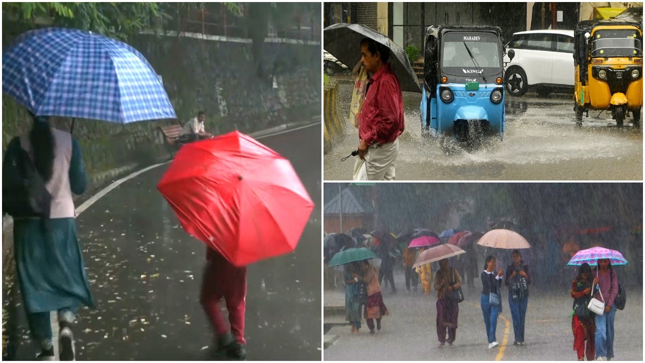
Regional Weather Divergence: Heavy Rainfall Warnings Issued for Northern and Eastern India
The India Meteorological Department (IMD) has issued a significant weather alert as the monsoon trough shifts, creating a stark atmospheric divide across the country. While vast swathes of Uttar Pradesh, Bihar, and West Bengal are bracing for intense precipitation driven by active cyclonic circulations, the national capital region is experiencing an extended dry spell. This meteorological dichotomy highlights the complexity of current monsoon dynamics, presenting drastically different operational challenges for the agricultural sector depending on geographical location.
Cyclonic Activity Triggers Heavy Rainfall in the Indo-Gangetic Plain
The IMD’s latest bulletin points to the formation of multiple cyclonic circulations that are currently drawing moisture from both the Bay of Bengal and the Arabian Sea. These systems are converging over the Indo-Gangetic plain, leading to a high-alert status for heavy to very heavy rainfall across Uttar Pradesh, Bihar, and West Bengal. Meteorologists note that these weather patterns are characterized by localized, high-intensity downpours that can lead to rapid runoff.
In regions such as Eastern Uttar Pradesh and Bihar, the moisture influx is expected to saturate the soil profile significantly. While this moisture is beneficial for recharging groundwater levels and supporting standing kharif crops, the intensity of the projected rainfall poses a risk of flash flooding in low-lying areas. Farmers in these states are advised to monitor local drainage infrastructure, as sudden waterlogging in fields—particularly in paddy-growing regions—can lead to nutrient leaching and potential crop lodging if the precipitation is accompanied by gusty winds.
The Dry Spell: Temperature Surge in the National Capital
Contrasting sharply with the deluge in the east, Delhi and its surrounding regions are currently under the influence of dry, northwesterly winds. The absence of cloud cover and the lack of moisture-laden air masses have created a stagnant atmospheric condition, allowing temperatures to climb steadily. The IMD has projected that mercury levels in the capital could peak at 38°C in the coming days, marking a significant departure from the cooling effects typically expected during this phase of the monsoon transition.
This dry weather in Delhi and parts of Haryana and Rajasthan is indicative of a temporary "break" in the monsoon cycle for these specific pockets. While high temperatures can accelerate the development of certain vegetable crops, they also increase the rate of evapotranspiration. This necessitates closer monitoring of soil moisture levels, as the rapid drying of the topsoil can lead to premature stress in crops that are currently in critical vegetative stages.
What This Means for Farmers
The current weather divergence necessitates two distinct management strategies for farmers, depending on their location:
- For Farmers in UP, Bihar, and Bengal: The primary concern is water management. With heavy rain predicted, it is essential to ensure that field drainage channels are clear of debris to prevent prolonged waterlogging. Avoid applying nitrogen-based fertilizers immediately before heavy rain, as the runoff will negate the efficiency of the application and lead to nutrient loss. Furthermore, farmers should be vigilant for fungal outbreaks, as high humidity combined with heavy rainfall creates an ideal environment for pathogens. Protective fungicide applications may be necessary once the weather clears.
- For Farmers in the Delhi and NCR Region: The rising temperatures and dry spell shift the focus toward irrigation management. With the mercury hitting 38°C, soil moisture will deplete rapidly. Farmers should prioritize light, frequent irrigation to maintain a stable micro-climate for their crops. Mulching, where applicable, can help retain soil moisture and protect root systems from the heat. It is also a critical time to monitor for pests such as whiteflies or mites, which often thrive in hot, dry conditions and can cause significant damage to vegetable and pulse crops.
- Economic and Market Outlook: The regional nature of these weather events will likely cause localized volatility in commodity arrivals at local mandis. In the east, transportation disruptions due to heavy rain could temporarily tighten supply chains, potentially affecting the price of perishable goods. Conversely, the dry, hot spell in the north may accelerate the maturity of certain crops, leading to a concentrated supply window. Farmers are encouraged to keep a close watch on local weather updates and coordinate with local agricultural extension offices to adjust their harvest and irrigation schedules accordingly.