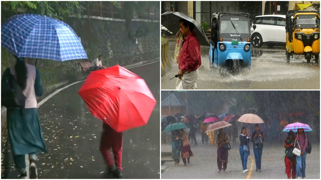
Extended Monsoon Deluge Forecast for North India: IMD Issues Multi-Day Alert
The India Meteorological Department (IMD) has issued a comprehensive weather outlook indicating that widespread rainfall is set to persist across North India through August 19. The forecast highlights a sustained period of wet weather, impacting the National Capital Region (NCR), the plains of Uttar Pradesh, and the vulnerable mountainous terrains of the Himalayan states. This prolonged spell is being attributed to the active phase of the monsoon trough, which is currently positioned to favor heavy moisture incursion from both the Arabian Sea and the Bay of Bengal.
For agricultural producers and rural communities, this period represents a critical juncture in the monsoon cycle. While the precipitation is essential for replenishing reservoirs and supporting late-stage Kharif crop development, the intensity and duration of the forecast raise concerns regarding waterlogging, soil saturation, and potential disruptions to logistics and field operations.
Regional Breakdown: Assessing the Impact Zones
The IMD’s regional updates delineate specific areas where the weather activity is expected to be most pronounced. In the Delhi-NCR region, intermittent heavy spells are anticipated, which may lead to urban flooding and significant delays in transportation. The meteorological patterns suggest that the moisture-laden winds will maintain high humidity levels, further influencing the local microclimate.
Across the plains of Uttar Pradesh, the rainfall is expected to be widespread, providing much-needed moisture to areas that have faced erratic precipitation patterns earlier in the season. However, the cumulative nature of this rainfall—stretching over nearly a week—increases the risk of localized flooding in low-lying agricultural basins. In the hill states, including Himachal Pradesh and Uttarakhand, the IMD has flagged the risk of landslides and flash floods. The terrain in these regions is particularly susceptible to heavy, continuous downpours, which can compromise soil stability and damage agricultural infrastructure such as terraces and irrigation channels.
Meteorological Drivers and Persistence
The ongoing weather event is driven by the oscillation of the monsoon trough, which has remained entrenched over the northern latitudes. Meteorologists observe that this positioning creates a "convergence zone" where wind patterns force air upward, leading to sustained cloud formation and consistent rainfall. The extended nature of this forecast, covering the period from August 14 to August 19, suggests a stable synoptic situation where the moisture supply remains uninterrupted.
As the system progresses, farmers should monitor local satellite imagery and district-level updates provided by regional meteorological centers. The persistence of these conditions is not merely a short-term weather spike but a significant climatic window that will dictate the water balance for the remainder of the month. The agricultural sector remains on high alert as the saturation of topsoil reaches critical levels in many districts.
What This Means for Farmers
The IMD’s five-day forecast necessitates immediate strategic adjustments for farmers in the affected regions. The practical implications are significant, and proactive management is required to safeguard crop health and maximize yield potential during this volatile period:
- Water Management and Drainage: The primary concern during prolonged heavy rain is soil saturation. Farmers are advised to ensure that drainage channels in fields are clear of debris to prevent waterlogging, which can lead to root rot and nutrient leaching. For low-lying areas, ensuring that excess water can be diverted away from standing crops is vital.
- Disease and Pest Control: High humidity and consistent moisture create an ideal environment for fungal pathogens and certain pest populations. Producers should prepare to monitor crops closely for symptoms of blight, rust, or increased insect activity once the rain subsides. Preventive measures should be discussed with local agricultural extension officers as soon as weather conditions permit field access.
- Nutrient Application Strategy: With heavy rainfall, the risk of nitrogen leaching is high. Farmers should avoid applying fertilizers or top-dressing just before or during heavy downpours to ensure that nutrients remain available to the plant rather than being washed away. Timing nutrient applications for the post-rain window will improve efficiency and reduce input costs.
- Livestock and Infrastructure Protection: For those managing livestock, ensure that shelter areas are elevated and dry. In the hill states, farmers should exercise extreme caution regarding slope stability and ensure that fodder storage is protected from moisture to prevent spoilage and mold growth.
- Logistics Planning: Given the potential for road disruptions in hilly areas and waterlogging in the plains, farmers should plan for potential delays in the transport of inputs or the movement of harvested produce. Short-term storage strategies should be prioritized to mitigate the risk of post-harvest losses caused by excessive moisture.
Ultimately, while the monsoon rain is a vital resource for the agricultural sector, the IMD’s alert serves as a reminder that intensity and duration are key factors in risk management. By staying informed through official channels and implementing robust field-level drainage and protective measures, farmers can better navigate this period of heightened weather activity.