Monsoon Intensifies Across Eastern India: New Depression Forms Over Bay of Bengal
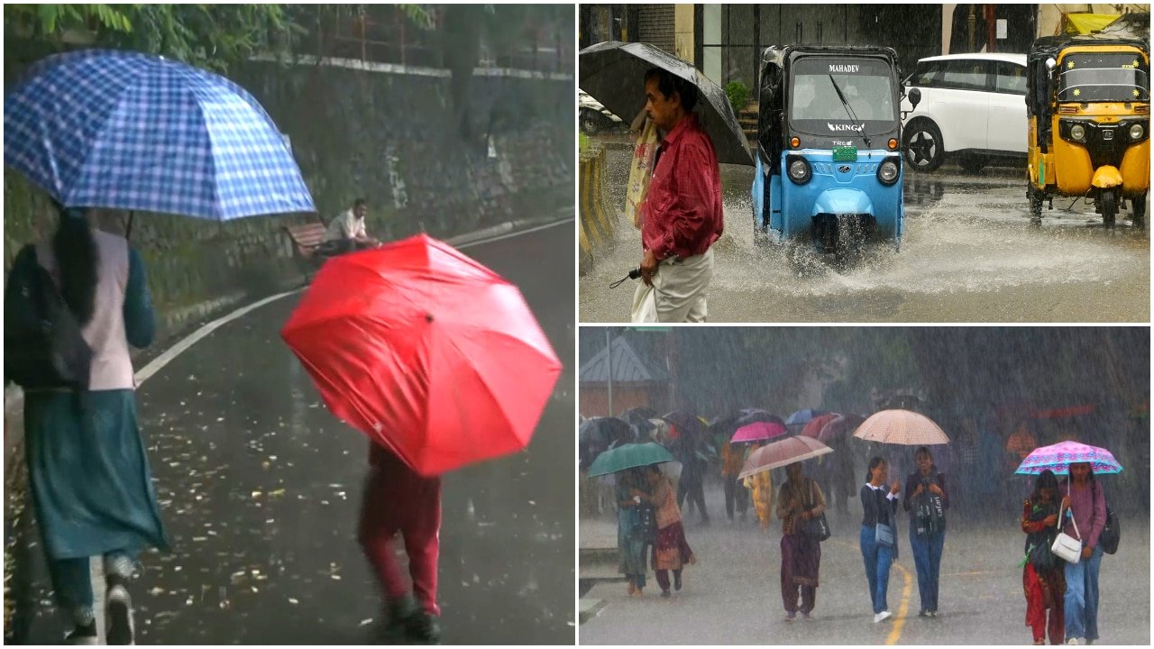
The Indian Meteorological Department (IMD) has issued a heightened alert for several states across Eastern and Central India as the Southwest Monsoon enters a phase of renewed vigor. According to the latest synoptic analysis, the monsoon trough remains active, facilitating a steady influx of moisture-laden winds from the Bay of Bengal. This atmospheric configuration, compounded by the development of a fresh low-pressure system, is expected to bring a significant surge in precipitation across West Bengal, Odisha, Jharkhand, and Chhattisgarh over the coming 72 hours.
Meteorologists indicate that the formation of this new depression is a critical driver for the current weather pattern. As the system moves inland, it is projected to channel heavy to very heavy rainfall across the eastern corridor. In some isolated pockets, the IMD has warned of "extremely heavy" rainfall—a classification reserved for precipitation exceeding 200mm within a 24-hour period. This development marks a pivotal shift in the seasonal trajectory, potentially replenishing depleted reservoirs while simultaneously posing challenges for low-lying agricultural zones.
Synoptic Conditions and Regional Rainfall Distribution
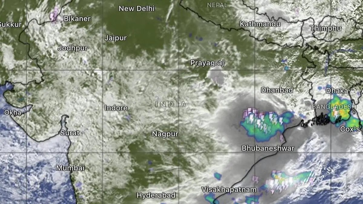
The current meteorological activity is characterized by a well-marked low-pressure area that has intensified into a depression over the northwest and adjoining west-central Bay of Bengal. This system is currently tracking in a west-northwesterly direction, effectively positioning itself to impact the coastal belts of Odisha and West Bengal before pushing deeper into the hinterlands of Jharkhand and Chhattisgarh.
The spatial distribution of rainfall is expected to be widespread. Coastal Odisha and the Gangetic plains of West Bengal are likely to experience the initial brunt of the weather system, with high-velocity winds accompanying the downpours. As the system traverses inland, the topography of the Chota Nagpur Plateau will likely enhance orographic lifting, leading to concentrated, intense rainfall in Jharkhand. Simultaneously, Chhattisgarh is expected to witness sustained showers, which will be instrumental in balancing the state's seasonal rainfall deficit, provided the precipitation remains steady rather than flash-flood-inducing.
Environmental Risks and Hydrological Management
While the monsoon’s strength is a welcome sign for long-term water security, the intensity forecast by the IMD necessitates caution. The primary concern among regional authorities is the saturation of soil profiles. With many districts in Eastern India having already received consistent rainfall throughout the season, the ground’s capacity to absorb further moisture is limited. This increases the risk of surface runoff, which can lead to localized flooding in agricultural fields and the potential for waterlogging in standing crops.
Furthermore, agricultural experts are monitoring the situation for potential impacts on river catchments. Rapid rises in water levels in smaller tributaries and streams could threaten riparian croplands. The IMD’s advisory emphasizes the need for district-level disaster management teams to remain on high alert, particularly in regions prone to landslides and mudslides, which are characteristic hazards during extreme rainfall events in hilly terrain.
What This Means for Farmers
For the farming community, this period of intensified monsoon activity presents a complex set of operational challenges and opportunities. The immediate priority must be the protection of standing crops and the management of farm infrastructure.
Field Drainage and Water Management: The most critical action for farmers in the path of the depression is to ensure that field drainage channels are clear. Ensuring that water can exit the field efficiently is essential to prevent "root suffocation" and the onset of fungal diseases like root rot, which thrive in stagnant, warm water. Farmers are advised to inspect their bunds and embankments to ensure they can withstand excess water pressure.
Postponing Fertilizer Applications: It is strongly recommended to suspend the application of fertilizers and pesticides during the next three days of forecasted heavy rain. High-intensity rainfall leads to significant nutrient leaching, particularly nitrogen-based fertilizers, rendering the application ineffective and increasing input costs. Furthermore, chemical sprays will be washed off the foliage, providing little to no protection for the crop.
Harvesting and Storage: For those in the final stages of harvesting any early-season crops or vegetables, the priority must be to expedite the harvest before the weather deteriorates. If crops have already been harvested, they must be moved to elevated, covered storage facilities. Protecting harvested produce from humidity and moisture is vital to prevent mold growth and post-harvest losses.
Long-term Outlook: From an economic perspective, while the immediate weather poses risks, the sustained rainfall is generally favorable for the Kharif season’s overall yield, provided it does not lead to large-scale crop damage. The replenishment of local ponds, check dams, and groundwater tables will provide the necessary soil moisture for the upcoming Rabi planting season. Farmers should coordinate with local agricultural extension offices to receive real-time updates and localized advisories tailored to their specific crop varieties.