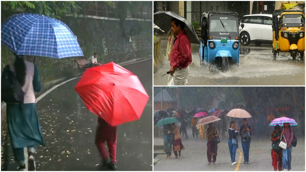
Monsoon Resurgence: IMD Issues Yellow Alert for Mumbai, Thane, and Palghar
The India Meteorological Department (IMD) has issued a formal 'Yellow Alert' for the districts of Mumbai, Thane, and Palghar, signaling a significant shift in regional weather patterns. After a period of relative atmospheric stability and dry conditions that allowed for a brief respite from monsoon activity, the region is bracing for a robust return of heavy rainfall. Meteorological experts attribute this revival to the strengthening of offshore troughs and favorable wind patterns, which are expected to bring intense precipitation to the Konkan belt over the next 24 hours.
The forecast suggests that the weather will be characterized by moderate to heavy spells of rain, accompanied by atmospheric instability. Residents and agricultural stakeholders have been advised to remain vigilant as the alert covers not only precipitation but also associated phenomena, including thunderstorms, frequent lightning strikes, and gusty winds reaching speeds of 30 to 40 kmph. This combination of meteorological factors necessitates heightened awareness, particularly in low-lying urban areas and rural farming clusters where infrastructure and crops are susceptible to sudden weather shifts.
Drivers of the Current Weather System
The revival of the monsoon after a dry spell is a classic feature of the Indian summer monsoon, often dictated by fluctuations in the position of the monsoon trough and the intensity of offshore currents. The current Yellow Alert serves as a precursor to heightened moisture influx from the Arabian Sea, which is currently interacting with local thermal conditions to create convective clouds. These clouds are responsible for the anticipated thunderstorms and gusty winds.
Meteorologists note that while the monsoon is in its active phase, the localized intensity—often referred to as "burst" activity—can be highly variable. The transition from dry conditions to sudden, heavy rainfall can lead to rapid saturation of the soil. In coastal districts like Palghar, where agricultural activities are heavily reliant on the timely distribution of rainfall, this surge will significantly alter soil moisture profiles. The gusty winds, while typical of such convective systems, pose an additional risk to standing crops that may be in vulnerable stages of development or harvest.
Operational Preparedness and Safety Protocols
With the IMD’s warning in effect, local administrative bodies have been urged to prepare for potential disruptions. For urban centers like Mumbai and Thane, the focus remains on mitigating waterlogging and ensuring the safety of transit networks. However, the impact extends far beyond urban infrastructure, reaching the peri-urban and rural hinterlands where the agricultural economy remains a primary livelihood.
The threat of lightning is a significant concern during this period of resurgence. Agricultural laborers and farmers working in open fields are particularly at risk during thunderstorm activity. The IMD’s guidelines emphasize the importance of seeking shelter in permanent structures and avoiding open spaces, metal objects, or lone trees during the peak of the storm. Furthermore, the forecast of 30-40 kmph winds suggests that temporary structures, livestock shelters, and horticultural trellises should be reinforced to prevent structural failure or damage to high-value produce.
What This Means for Farmers
For the farming community, this sudden shift in weather requires immediate tactical adjustments to protect assets and ensure crop viability:
- Water Management: Farmers should ensure that drainage channels in fields are clear. While the rainfall is generally beneficial for standing crops, excessive pooling of water can lead to root rot and nutrient leaching, particularly in low-lying paddy fields.
- Protection of Horticultural Crops: Gusty winds can cause significant mechanical damage to orchards and vegetable crops. It is advisable to inspect support systems for banana, papaya, and vine-based vegetables to ensure they can withstand the projected 40 kmph wind speeds.
- Livestock Safety: Ensure that livestock are housed in sturdy, leak-proof shelters. Avoid tethering animals near tall, solitary trees or metal fences, which can act as conduits for lightning strikes during the forecasted thunderstorms.
- Post-Harvest Precautions: For farmers who have recently harvested produce, the immediate priority is to move crops into moisture-controlled, covered storage. Exposure to sudden, heavy precipitation can lead to rapid spoilage, fungal growth, and significant post-harvest losses.
- Input Application: Avoid the application of chemical fertilizers or pesticides during the next 24 to 48 hours. Heavy rainfall will wash away these inputs, resulting in both economic loss and environmental runoff, rendering the application ineffective.
By staying informed through official IMD updates and taking proactive measures, farmers can mitigate the risks associated with this monsoon revival and capitalize on the essential moisture provided to their fields.