Weather Alert: Heavy Rainfall Expected in Eastern Gujarat Districts
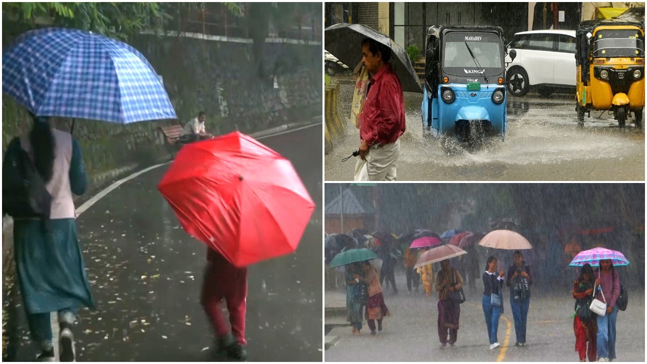
The India Meteorological Department (IMD) has issued a fresh weather alert for Gujarat, signaling a shift in atmospheric conditions that is expected to bring intensified rainfall to the state’s eastern districts. While the region has seen light to moderate showers over the past week, meteorological data indicates that a convergence of moisture-laden winds is set to trigger localized heavy downpours in the coming 24 hours.
The primary focus of this weather system is centered on Panchmahal, Dahod, and Mahisagar. Authorities in these districts have been advised to prepare for significant precipitation, which may be accompanied by gusty winds and intermittent thunder. As the state navigates this active weather phase, residents and agricultural stakeholders across other major urban centers, including Ahmedabad and Surat, are also keeping a close watch on shifting forecasts as the monsoon activity remains fluid.
Regional Impact: Assessing the Rainfall Distribution
The forecast for Panchmahal, Dahod, and Mahisagar suggests that the incoming rain is part of a broader, scattered precipitation pattern currently influencing the Gujarat landscape. Meteorological experts note that these eastern districts are particularly susceptible to sudden weather shifts due to their unique topography and proximity to shifting pressure systems. The expected rainfall is likely to vary in intensity, with some pockets receiving heavy accumulation that could impact low-lying areas and rural infrastructure.
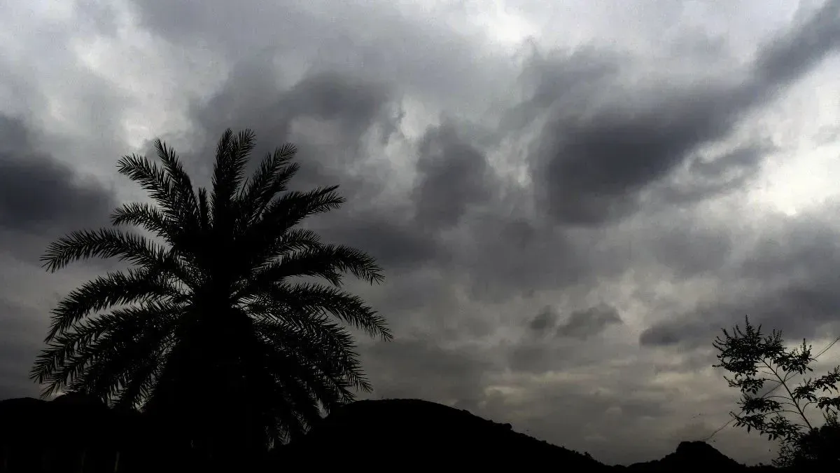
Meanwhile, in the major commercial hubs of Ahmedabad and Surat, the current outlook remains focused on scattered showers. While these urban areas are not currently under the same heavy-rain alert as the eastern districts, the weather remains unpredictable. Cloud cover is expected to dominate the skyline, with the potential for occasional thundershowers that could disrupt daily logistics and transport. For these regions, the situation is characterized by typical late-season volatility, where moisture levels remain high despite the lack of a concentrated, high-intensity weather system.
The Meteorological Drivers Behind the Forecast
The current weather activity in Gujarat is being driven by a combination of regional cyclonic circulations and the movement of moisture from the Arabian Sea. These factors create the instability necessary for convective cloud development, leading to the scattered yet intense showers currently observed. The IMD’s decision to issue specific alerts for Panchmahal, Dahod, and Mahisagar is based on predictive modeling that shows these areas are directly in the path of the most concentrated moisture flow.
Agricultural meteorologists emphasize that while these rains are beneficial for soil moisture levels, the sudden onset of heavy rain—especially when accompanied by gusty winds—can pose challenges for standing crops. The combination of wind and rain creates a risk of lodging for certain varieties of crops, necessitating a proactive approach to farm management. As the system moves across the region, monitoring local updates remains essential for those in the path of the potential storm activity.
What This Means for Farmers
For the agricultural community, the transition to wetter conditions requires immediate attention to field management and crop protection strategies. The expected heavy rain in eastern districts serves as a critical window for farmers to take necessary precautions to safeguard their livelihoods.
- Drainage Management: Farmers in Panchmahal, Dahod, and Mahisagar should ensure that field drainage systems are clear. Excess water accumulation in fields can lead to root rot and nutrient leaching, which can significantly hamper crop yields if not addressed promptly.
- Crop Protection: With gusty winds forecasted alongside the rain, taller or more delicate crops may be at risk of lodging. Where feasible, temporary staking or protective measures can prevent physical damage to crops that are approaching maturity.
- Input Application: It is highly advised to postpone the application of fertilizers and pesticides during this period. Heavy rainfall can cause run-off, rendering these inputs ineffective and potentially leading to environmental contamination. Wait for a clear window to ensure maximum absorption and efficiency.
- Livestock Safety: Ensure that livestock are sheltered in secure, dry structures. Sudden thunder and heavy rain can cause distress to animals, and moving them to higher ground or reinforced sheds is a vital step in maintaining animal welfare during extreme weather events.
- Market Logistics: Farmers planning to transport perishable produce to market hubs in Ahmedabad or Surat should monitor weather alerts closely. Road conditions may deteriorate in rural areas, and potential delays in transport should be factored into harvest and delivery schedules to minimize post-harvest losses.
By staying informed through official IMD channels and coordinating with local agricultural extension offices, farmers can better navigate these volatile weather conditions and mitigate the risks associated with the upcoming rainfall.