Regional Weather Shift: Northwest India Braces for Widespread Rainfall
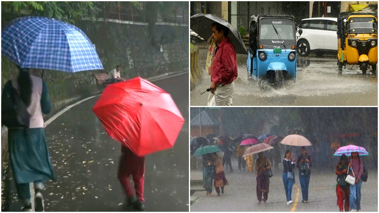
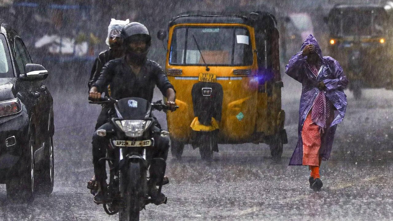
A significant shift in meteorological patterns is set to impact northwest India starting Thursday, August 13, as weather agencies forecast a period of widespread rainfall across the region. After a stretch of dry and stagnant conditions, atmospheric changes are expected to bring much-needed moisture to the plains. Forecasters indicate that while the initial onset will bring light to moderate showers, the intensity is slated to increase by August 14, with several pockets expected to experience isolated heavy rainfall.
Meteorological experts attribute this shift to the strengthening of low-pressure systems and the movement of moisture-laden winds from the surrounding regions. This transition is expected to disrupt the current atmospheric stability that has contributed to stagnant air quality in the national capital and its surrounding satellite cities. While the rain is anticipated to provide relief from the prevailing humidity and heat, authorities have issued warnings for residents to remain vigilant, particularly regarding travel logistics and outdoor operations during the peak of the storm activity.
Air Quality and Atmospheric Stagnation
For several weeks, the national capital region has grappled with air quality levels consistently categorized as 'poor.' This deterioration is largely attributed to the lack of wind movement and the absence of significant precipitation, which normally helps in scrubbing particulate matter from the lower atmosphere. The current weather system is expected to act as a natural cleansing agent, with rain showers helping to settle dust and pollutants that have been trapped in the stagnant air.
However, environmental scientists caution that this improvement may be temporary. While the immediate impact of the rainfall will likely lead to a dip in the Air Quality Index (AQI), the long-term trends depend heavily on wind speed and regional emission patterns. The interaction between the incoming moisture and the urban heat island effect remains a focal point for researchers, as the sudden cooling can sometimes lead to localized fog or haze once the rain subsides. Residents are encouraged to monitor local air quality dashboards, as conditions can fluctuate rapidly following the arrival of the monsoon-like systems.
Infrastructure and Public Preparedness
The transition from a dry spell to heavy, isolated rainfall poses logistical challenges for both urban centers and rural peripheries. Local municipal bodies have been alerted to the potential for waterlogging in low-lying areas, a common occurrence during periods of intense, short-duration precipitation. Public transit networks may face delays, and commuters are advised to plan their journeys with extra time, taking into account the potential for reduced visibility and slick road conditions.
Beyond urban concerns, the broader regional impact includes the saturation of soil and the potential for rapid runoff. Weather bureaus are maintaining a 24-hour watch, utilizing satellite imagery and Doppler radar to track the movement of convective clouds. By staying informed through official state-run weather channels, citizens can better prepare for potential disruptions, ensuring that essential activities are scheduled around the peak intervals of the predicted rainfall.
What This Means for Farmers
For the agricultural community across northwest India, this forecasted rainfall serves as a critical juncture in the current cropping cycle. The arrival of widespread rain can be highly beneficial for standing crops that have been under moisture stress due to the recent dry spell. Key takeaways for farmers include:
- Moisture Management: The anticipated rainfall may reduce the immediate need for irrigation in kharif crops. Farmers should monitor soil moisture levels closely to avoid waterlogging, which can lead to root rot or nutrient leaching in sensitive crops.
- Pest and Disease Monitoring: Increased humidity following rainfall often creates an ideal environment for fungal infections and certain pest populations. Field scouting in the days following the rain is essential to identify early signs of blight or infestations that may require prophylactic treatment.
- Harvest and Post-Harvest Logistics: For farmers currently in the middle of harvest operations or those drying produce in open yards, the forecast serves as a warning. It is imperative to secure harvested grain and protect agricultural inputs from moisture damage.
- Strategic Planning: While the rain is generally welcomed for recharging groundwater levels and supporting crop growth, farmers should adjust their field activity schedules to avoid working in waterlogged fields, which can cause soil compaction and long-term damage to field structure.
By aligning field operations with these meteorological updates, farmers can mitigate the risks associated with sudden weather shifts and optimize the benefits that this late-season moisture may provide to their yields.