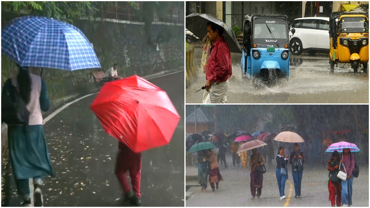
Severe Weather Alert: Bay of Bengal Low-Pressure System Triggers Red Alerts Across Eastern and Central India
A rapidly intensifying low-pressure system currently brewing over the Bay of Bengal has prompted meteorologists to issue urgent red alerts across the states of West Bengal, Odisha, and Chhattisgarh. The system, which has gained significant strength over the past 24 hours, is expected to bring a deluge of extremely heavy rainfall, accompanied by gusty winds and potential infrastructure disruptions. Regional authorities have ramped up disaster management protocols as the meteorological department warns of significant flooding risks in low-lying coastal and inland areas.
The convergence of moisture-laden winds from the Bay of Bengal into these specific states has created a volatile atmospheric environment. As the system tracks inland, the intensity of the precipitation is expected to peak, threatening to disrupt transport networks, power grids, and local commerce. For the agricultural sector, which remains the backbone of the economy in these regions, the timing of this extreme weather event presents a complex challenge, potentially impacting standing crops and harvest schedules.
Meteorological Dynamics and Projected Rainfall Impact
The intensification of this low-pressure area is being driven by optimal sea-surface temperatures and favorable wind shear conditions, which have allowed the system to consolidate quickly. Meteorologists are monitoring the movement of the depression as it moves across the coastline, with the most severe impact projected for the coastal districts of Odisha and the southern regions of West Bengal. In Chhattisgarh, the system is expected to encounter hilly terrain, which often exacerbates rainfall intensity due to orographic effects, leading to concerns regarding flash flooding in river basins.
The red alert classification signifies that the public and administrative bodies should expect extreme weather conditions that could lead to significant damage. Rainfall totals in some localized areas are forecast to reach levels that could overwhelm existing drainage systems. Beyond the immediate threat of inundation, strong wind gusts are a primary concern, particularly for vulnerable housing structures and overhead power transmission lines. Disaster response teams have been pre-positioned in high-risk zones, and residents are being advised to avoid unnecessary travel during the peak of the storm.
Agricultural Vulnerabilities in the Path of the Storm
The agricultural landscape of eastern and central India is particularly susceptible to the timing of this monsoon surge. Farmers in West Bengal and Odisha are currently navigating various stages of the crop cycle, ranging from active vegetative growth to early harvesting phases. Excessive, sustained rainfall can lead to waterlogging in paddy fields, which, if not drained promptly, can result in root rot, nutrient leaching, and the lodging of standing crops.
Furthermore, the high winds accompanying this system pose a risk of physical damage to horticultural crops and taller staples like maize and sugarcane. In Chhattisgarh, where rain-fed agriculture is prevalent, the sudden influx of water may disrupt soil structure and lead to the erosion of topsoil in undulating terrains. Beyond the crops themselves, the storage and logistics of post-harvest produce are at risk, as humidity levels spike and transit routes become compromised by muddy conditions or localized flooding, potentially leading to significant post-harvest losses.
What This Means for Farmers
For the farming community, the current red alert necessitates immediate and decisive action to mitigate potential losses. The following steps are recommended to safeguard assets and prioritize safety during this period of extreme volatility:
- Field Drainage Management: Ensure that all field channels and drainage outlets are cleared of debris. Proper water management is critical; preventing standing water in paddy fields for extended periods can save the crop from irreparable damage.
- Harvesting Decisions: If crops are at or near maturity, prioritize emergency harvesting if conditions permit. However, do not compromise human safety to save produce. If harvesting is not possible, ensure that any stored grain or produce is moved to elevated, dry, and well-ventilated locations.
- Infrastructure Security: Inspect temporary structures, livestock shelters, and farm machinery storage areas. Reinforce roofs and secure equipment that could be damaged by strong winds.
- Livestock Protection: Move livestock to higher ground and ensure they have access to dry fodder and clean water. Keep animals away from low-lying areas that are prone to sudden flash flooding.
- Market Logistics: Expect significant disruptions to transportation and supply chains. Contact local agricultural extension officers or cooperative societies for real-time updates on market accessibility and potential assistance programs.
- Monitor Official Channels: Rely exclusively on updates from the India Meteorological Department (IMD) and local district authorities. Do not rely on unverified social media reports, and remain prepared for rapid changes in weather conditions as the system evolves.
While the monsoon is essential for the region's productivity, the intensity of this current system demands a high level of vigilance. By taking proactive measures to manage water flow and secure assets, farmers can significantly reduce the impact of these extreme weather events on their seasonal profitability and long-term land health.