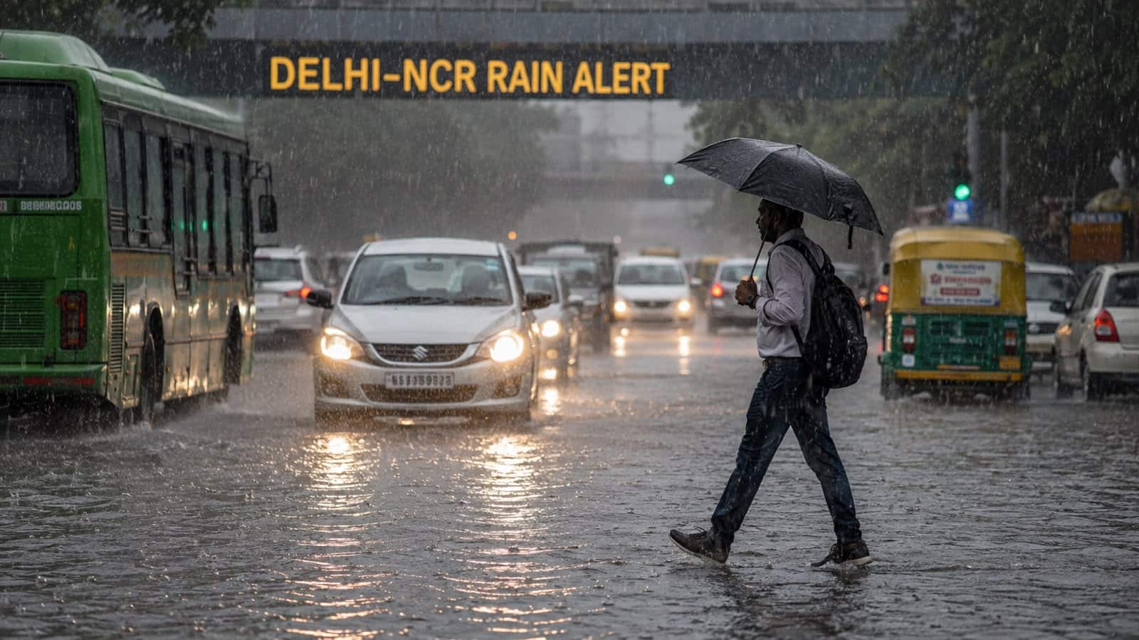
Severe Weather Alert: 17 States on High Readiness as Heavy Rains and Storms Loom
Agricultural regions across the country are bracing for a period of extreme volatility as meteorological authorities issue urgent warnings for the next 24 hours. A potent weather system is currently tracking across the nation, triggering high-level alerts in 17 states. The situation, characterized by heavy to very heavy rainfall, volatile thunderstorms, and high-velocity winds, represents a significant threat to standing crops, rural infrastructure, and human safety in vulnerable terrain.
The India Meteorological Department (IMD) has categorized the weather event as a high-priority situation, with "Red Alerts" issued for several critical regions. Gujarat, Maharashtra, Jammu and Kashmir, and Rajasthan are currently under the highest level of vigilance. Meanwhile, the mountainous regions of Uttarakhand and Himachal Pradesh are facing heightened risks of landslides and flash floods, complicating logistics and agricultural operations in these sensitive ecosystems.
Geographic Scope and Meteorological Drivers
The widespread nature of this weather system highlights a convergence of atmospheric instability affecting nearly one-third of the country. In the western states of Gujarat and Rajasthan, the primary concern remains the intensity of rainfall over a short duration, which threatens to trigger localized flooding in low-lying agricultural fields. In Maharashtra, the combination of stormy winds and heavy precipitation poses a severe risk to horticulture and standing kharif crops, which are particularly susceptible to wind-lodging at this stage of development.
In the northern mountainous corridor, the situation is increasingly precarious. Himachal Pradesh and Uttarakhand have been flagged for the risk of landslides, as saturated soil from ongoing precipitation becomes unstable. For farmers in these regions, the danger extends beyond crop damage to the critical loss of topsoil and the destruction of terraced farming infrastructure. The IMD expects these conditions to remain intense over the next 24-hour cycle, as the system moves through, necessitating constant monitoring of local weather bulletins.
Infrastructure and Logistical Challenges
Beyond the immediate threats to field crops, the current weather pattern poses significant risks to the rural supply chain. Stormy winds are known to compromise power grids and communication lines, which are vital for modern precision farming and cold-storage operations. In the hilly states, the elevated risk of landslides suggests that rural connectivity may be interrupted, potentially isolating farming communities and hindering the movement of perishable goods to regional markets.
The intensity of the expected rainfall also raises concerns regarding water management. While adequate rainfall is generally beneficial for soil moisture, the "heavy to very heavy" classification implies a rate of precipitation that exceeds the soil's infiltration capacity. This leads to surface runoff, which not only causes erosion but also strips away essential nutrients and fertilizers applied to the fields, effectively reducing the efficacy of recent input investments by farmers.
What This Means for Farmers
The next 24 hours require immediate, proactive risk management to mitigate potential losses. Farmers are advised to prioritize the following actions:
- Secure Harvested Produce: If any produce is currently stored in open yards or temporary structures, it must be moved to covered, elevated storage immediately to prevent moisture damage and fungal growth.
- Field Drainage and Soil Management: Ensure that drainage channels around fields are clear of debris. In low-lying areas, creating temporary trenches can help divert excess water away from the root zones of sensitive crops, reducing the risk of waterlogging.
- Infrastructure Reinforcement: Check the structural integrity of polyhouses, shade nets, and temporary livestock shelters. Strengthening support structures against high-velocity winds can prevent catastrophic collapse.
- Safety in Hilly Regions: For farmers in Uttarakhand and Himachal Pradesh, the primary priority is human safety. Avoid working in fields located near steep slopes or unstable embankments during the peak of the storm to avoid landslide risks.
- Monitor Market Access: Given the potential for road closures due to landslides or flooding, farmers should anticipate delays in transport. If possible, expedite the movement of any ready-to-market produce before the weather conditions deteriorate further.
- Post-Storm Assessment: Once the system passes, conduct a thorough assessment of the crop damage. Documenting losses through photographs and reports will be essential if insurance claims or government disaster assistance programs are activated.
Staying informed via local administrative alerts and IMD updates remains the most effective tool for navigating this volatile weather window. Vigilance during this brief but intense period is crucial to safeguarding the season’s agricultural output.