Unsettled Weather Patterns Persist Across Gujarat: IMD Issues Extended Alert
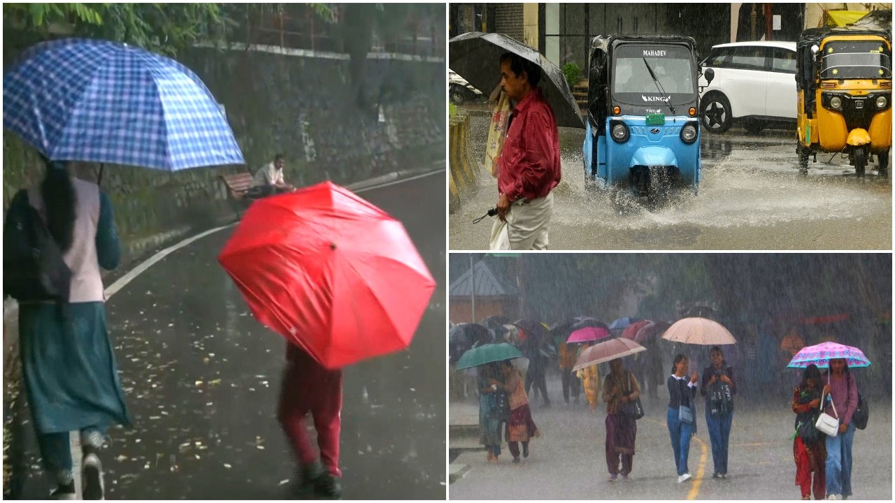
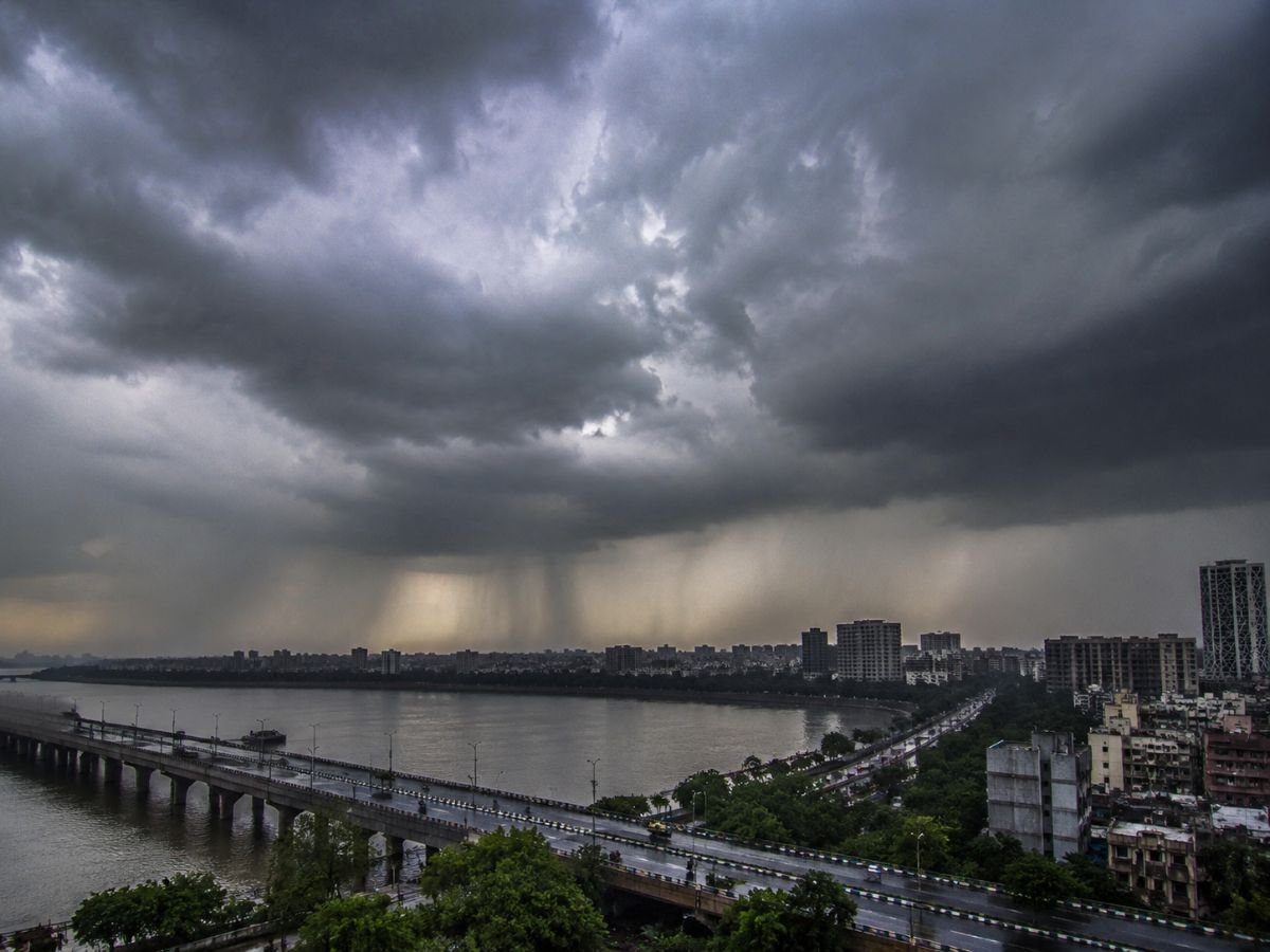
Agricultural operations across Ahmedabad and the surrounding districts of Gujarat are facing a period of heightened meteorological uncertainty as the India Meteorological Department (IMD) confirms that heavy rainfall, accompanied by severe weather phenomena, is expected to persist through August 12. The current weather system, which has been intensifying over the past 48 hours, is bringing significant atmospheric instability to the region, raising concerns for both standing crops and regional logistics.
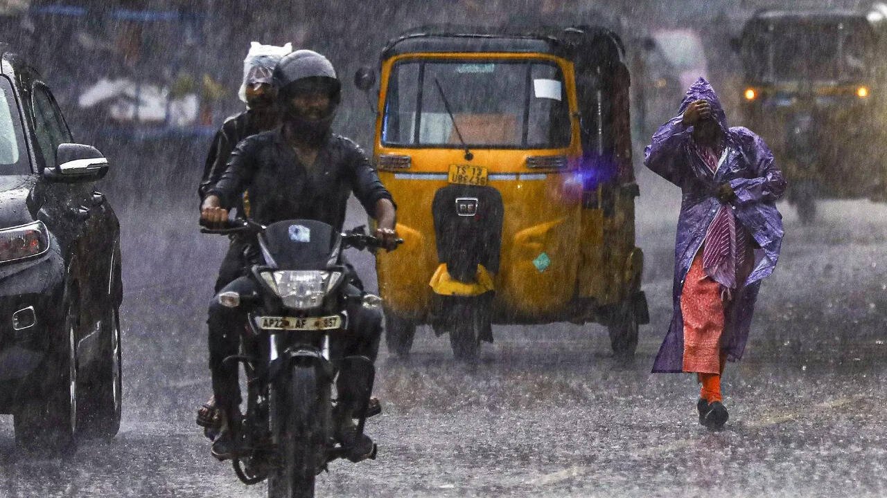
Meteorological data indicates that the ongoing rainfall is not merely confined to light showers; rather, it is characterized by localized heavy downpours, frequent lightning strikes, and gusty winds reaching speeds of 30 to 40 kilometers per hour. These conditions are particularly concerning for rural areas where infrastructure is more vulnerable to the sudden onset of inclement weather. With the monsoon trough remaining active, regional authorities have placed several districts under a heightened alert status, urging farmers and residents to exercise extreme caution during the coming days.
Atmospheric Dynamics and Regional Impact
The current weather disturbance is being driven by a combination of a persistent monsoon trough and localized cyclonic circulations that have effectively channeled moisture-laden winds from the Arabian Sea into the heart of Gujarat. This influx of moisture is creating ideal conditions for thunderstorms, which are historically volatile and difficult to predict with pinpoint accuracy.
Beyond the immediate threat of heavy rainfall—which risks causing waterlogging in low-lying agricultural fields—the primary concern for the farming community is the combination of gusty winds and lightning. Gusts of 30 to 40 kmph are sufficient to cause physical damage to tall-standing crops, such as maize or maturing pulses, potentially leading to lodging or stem breakage. Furthermore, lightning strikes represent a significant safety risk for field laborers and livestock, necessitating a shift in daily operational routines to avoid open, exposed areas during the peak hours of thunderstorm activity.
Hydrological monitoring stations are currently tracking soil moisture levels, which are reaching saturation points in several districts. Continued rainfall through August 12 is expected to maintain high water levels in local irrigation tanks and drainage channels. While this provides a reprieve from seasonal water scarcity, the lack of intermittent sunshine may also inhibit the necessary evapotranspiration processes required for healthy crop development, potentially increasing the risk of fungal pathogens and root rot in sensitive varieties.
What This Means for Farmers
For the farming community, the extended forecast necessitates a proactive approach to risk management. The priority over the next 48 to 72 hours must be the protection of both human life and harvested yields.
- Field Drainage Management: Ensure that field drainage channels are clear of debris. Removing blockages now can prevent prolonged waterlogging, which is the primary cause of crop stress and nutrient leaching during heavy monsoon spells.
- Crop Protection: In areas where crops are in a critical growth stage, farmers should assess the need for temporary windbreaks if possible. For crops that have already been harvested, ensure that produce is stored in elevated, moisture-proof, and well-ventilated structures to prevent post-harvest spoilage due to high humidity.
- Livestock Safety: Move livestock to sturdy, covered shelters before the onset of evening thunderstorms. Avoid tethering animals near tall, isolated trees or metal fencing, which act as lightning conduits during electrical storms.
- Field Operations: Suspend all field activities, including the application of fertilizers or pesticides, during periods of high wind and lightning. Chemicals applied during such conditions are often washed away before absorption, leading to both economic waste and environmental runoff.
- Monitoring Local Updates: Regional weather patterns can shift rapidly. Farmers are advised to stay tuned to local district-level alerts and IMD bulletins, as these will provide the most accurate guidance on the specific timing and intensity of rainfall in their immediate vicinity.
While the monsoon is essential for the region's agricultural cycle, the intensity of this current spell requires vigilance. By prioritizing soil drainage and safety protocols, farmers can mitigate the negative impacts of these severe weather conditions and safeguard their investment for the remainder of the Kharif season.